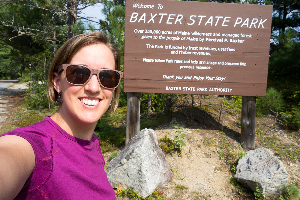
Yesterday I dropped Caz and Scott off at the bus in Bangor to head back to Portland and fly home. Then I drove up to Baxter State Park, where I have not been since I finished my Appalachian Trail thru hike five years ago. It felt good to be back and I was greeted with a partial view of Mount Katahdin right away.
The rest of my trip will be peakbagging in Maine, both to get the 4,000 footers for my New England 67 list and to hike other peaks over 3769′ for the New England Hundred Highest list. Frustratingly, many of these peaks are just off the AT, but as a thru hiker, it never occurred to me to walk an extra quarter mile for a summit. I wasn’t a peakbagger then and generally only went to very closeby viewpoints so I have only officially climbed the Maine summits actually on or right next to the AT. The plan for this trip is to get all but six of the NEHH in Maine, which will have to wait for another trip. That bunch is a little closer to the Canadian border and sort of clustered near enough to each other to get them all in a different trip.

I stopped at the Visitor Center right before the Togue Pond Gatehouse to see if anything in particular was going on. The weather still looked best the next two days. I picked up some informational fliers (wildflowers, mammals, etc) and drove into the park.
Baxter State Park has rolling reservations that open up four months ahead of time so back in April, I booked two nights at Nesowadnehunk Field Campground and two nights at Roaring Brook Campground. It took me over an hour to get from the gate to Nesowadnehunk Field on the park’s Tote Road. It’s a gravel road with a low speed limit due to potholes and washboards. For part of it, I gave two hikers a ride back to their car who had done a traverse over Katahdin and got to hear some of the conditions from them.
I pulled into Nesowadnehunk Field and found my reserved lean-to. The other sites were all taken but there was nice space and trees between everyone so it felt isolated. I started cooking dinner and reorganizing my car now that I’m traveling solo so that I can more easily access the things I need. The ranger pulled in to check on all the campers and see if people were back from their hikes. I hadn’t realized there was a ranger I needed to check in with since I thought I “checked in” at the gate, but he was very friendly and didn’t mind.
There were some weird gnats or something flying around everywhere but not particularly in my face like black flies are wont to do. If I sat still for ten minutes, they calmed down and left. I set my tent up inside the lean-to just in case they decided to come back while I was sleeping. I spent most of the evening quietly reading before bed.

I awoke early and when going to my car to get breakfast out, found that a mouse had gotten in and chewed into some of my food bags. Wonderful. The park asks you to keep all your food and scented items locked in your fully closed car to protect against bears, but they neglected to mention to keep everything in mouseproof containers as well. The possibility of a mouse getting in had actually crossed my mind, but I didn’t really think it would happen so I didn’t go to the trouble of emptying my car camping bin of gear and putting my food in it instead. Now I decided to empty my cooler, which was mostly empty anyway aside from some water and peanut butter and jelly, and put all of my food in it. It did fit, thankfully, aside from some snacks I already had in a closed bin, and some baked goods that came in hard plastic containers. Not exactly the start I wanted for my day.
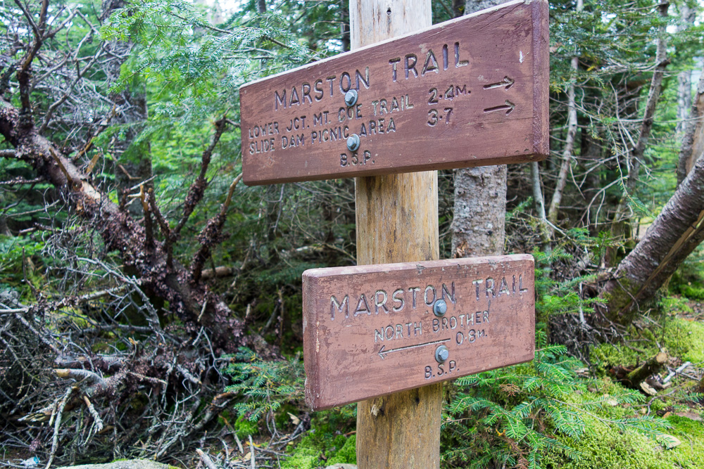
I didn’t know how busy the trailhead would be so I decided to drive back to it and then eat breakfast and get ready since everything was in my car anyway. It was a short drive to the Marston Trailhead and I took my time there eating and packing up for the day. There was only one other car in the parking lot when I started hiking at 7:30.
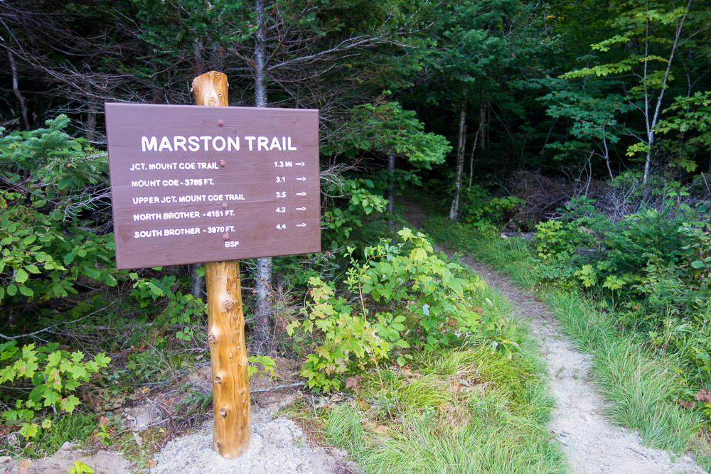

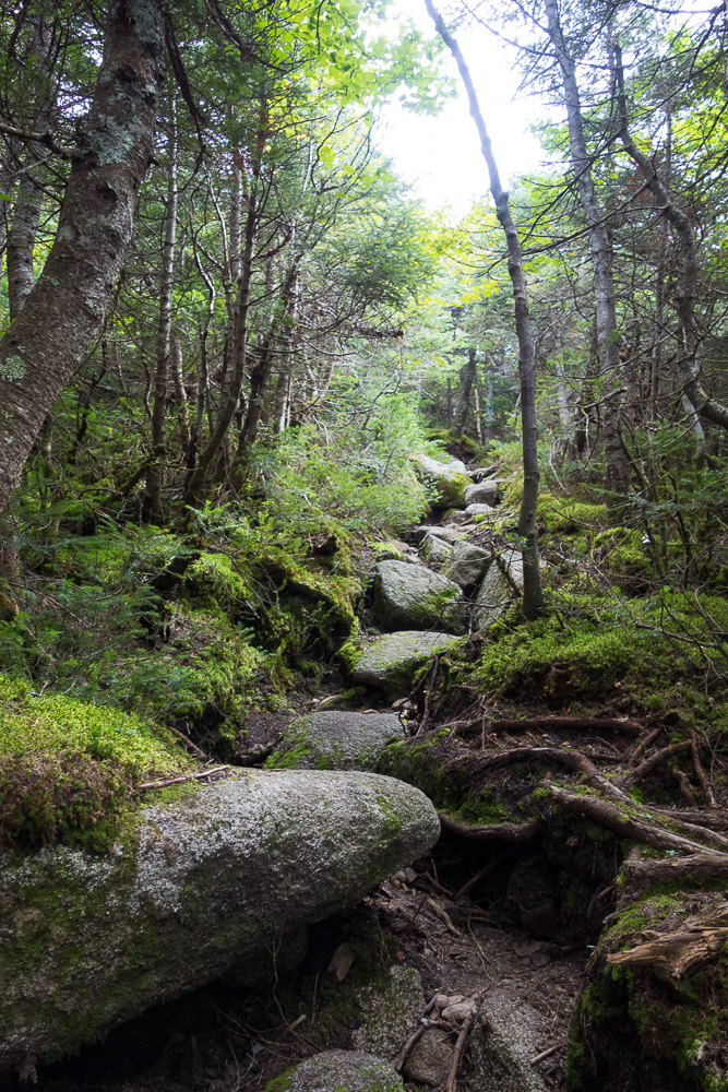
The Marston Trail started out fairly level and then turned into a moderate climb up to the junction with the Mount Coe Trail. I turned right to go counterclockwise around the loop, a direction recommended by both the internet and the ranger to be able to go up Mount Coe’s slide instead of down it.

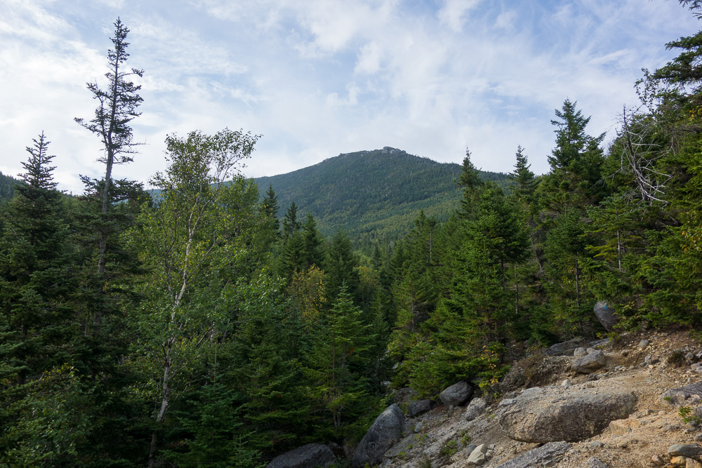
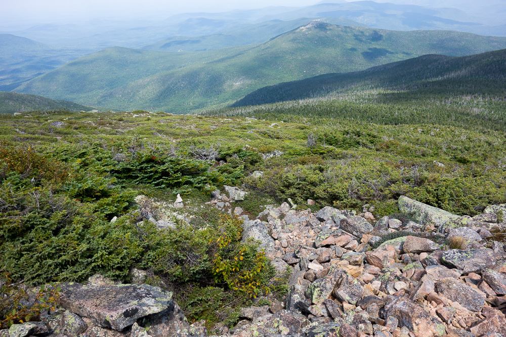
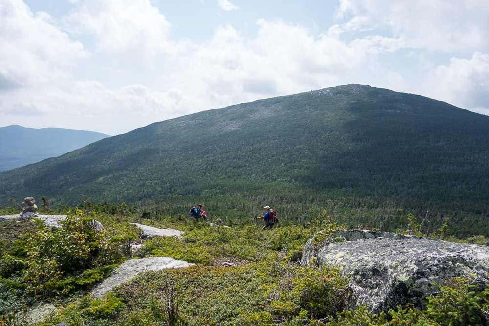
I made good time and enjoyed the views once I got a little higher, both up to Mount Coe’s summit where I was heading, and over to Mount O-J-I’s summit which I was not including on this loop.

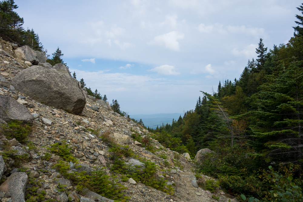
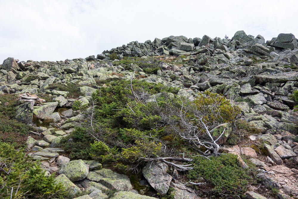
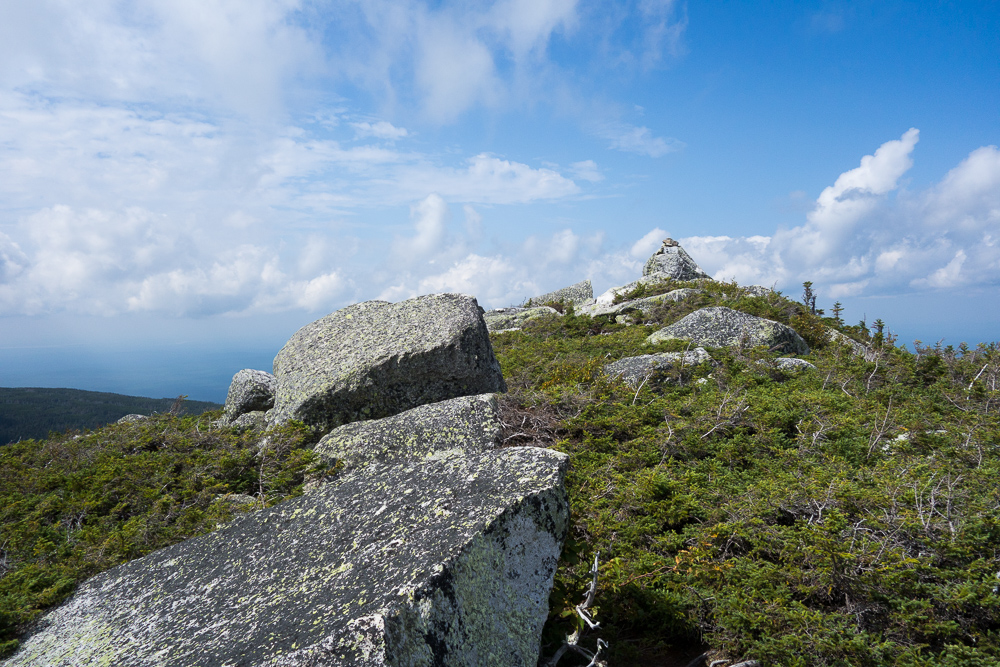
The trail took me over some very loose scree but wasn’t really too sketchy. Once I got to the slide, it got steep. So steep that I was avoiding walking on any wet parts of the rock if possible and stopping every few minutes for another break. I finally made it up and into the trees for a short distance before popping out of the trees at the summit of Mount Coe at 3795′.


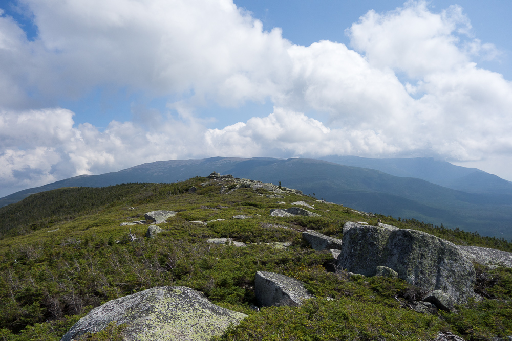
I had a quick snack and water break while enjoying the views. I could see South Brother and North Brother in the direction I was heading next, and Katahdin in the clouds over to the east. I wasn’t actually that hungry yet so I didn’t stay long and hopped onto the narrow ridgeline trail to go down to the saddle between Coe and South Brother.


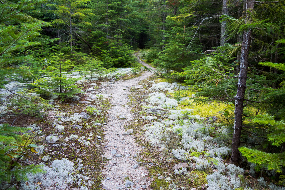
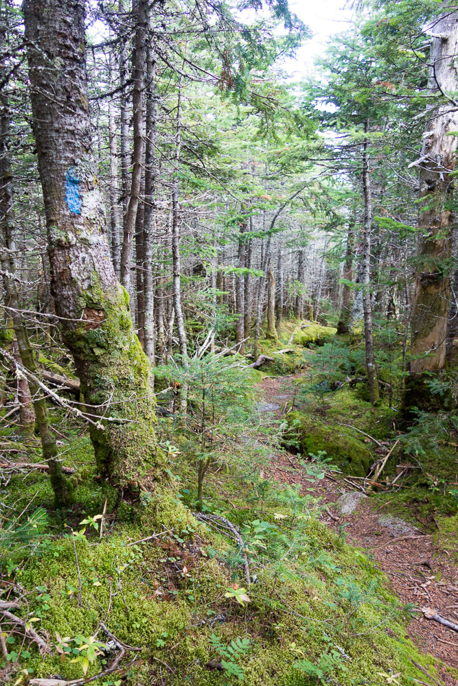
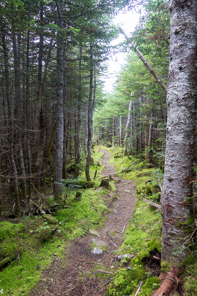
It was a little steep going down at first but then it evened out into some pretty nice and seemingly little-used trail. It didn’t take me long to get over to the South Brother Trail junction.
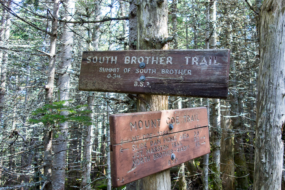
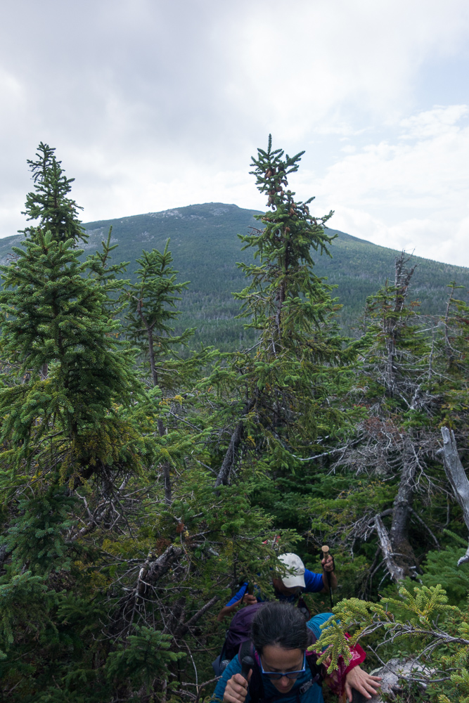
It was a steeper climb up South Brother with some big boulders making for a bit of scrambling here and there. I ran across someone’s full pack left in the middle of the trail, but didn’t hear a response to my call into the woods. I figured whoever it was just didn’t want to carry their pack up and down the summit. Passing a second pack confirmed that notion. Just as I was almost to the top, I ran into Nick and Vanessa, the owners of the packs. They belonged to the one car that had been in the parking lot before me and were doing the same loop I was. They were going to finish their NE67 on top of North Brother so I promised to take their picture when I caught up to them again. They continued down while I continued up to the summit of South Brother at 3970′ for more views and snacks.


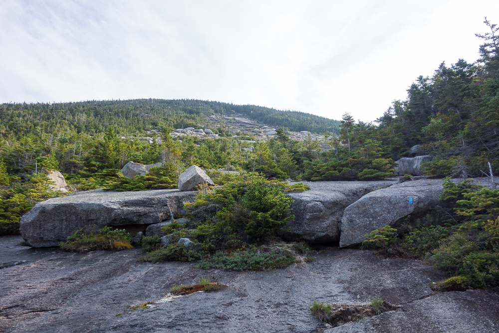
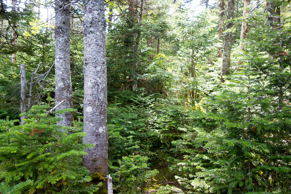
I ran into two other people at the bottom of the South Brother Trail when I got back down to the junction, and two more people arrived while I was chatting with them. I left them to go up the summit spur while I continued on the Mount Coe Trail over to North Brother. It was nice woods trail again, which continued on the end of the Marston Trail up North Brother. Once I crossed the saddle between those two mountains, the trail did get steep and rocky. I ran into three more hikers here to make nine total that I’d see all day.
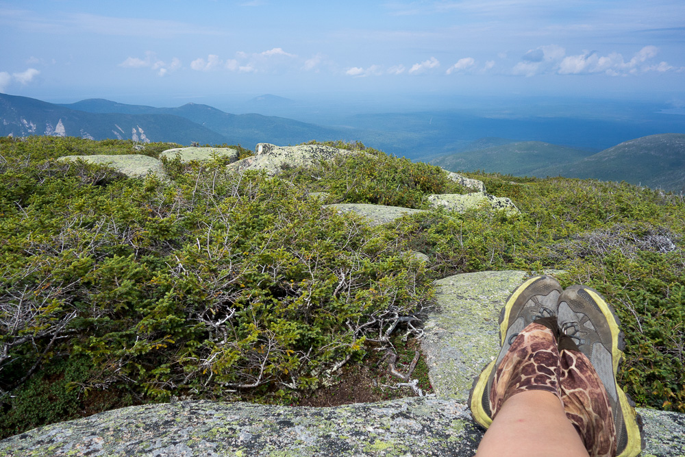
I caught back up to Vanessa and Nick once I got above treeline and passed them to get to the top and take photos. The summit of North Brother at 4151′ had great views in all directions. They came up and celebrated their peakbagging list finish and we decided to bushwhack over to Fort Mountain together after eating lunch.


It’s about a mile over to Fort Mountain from the summit of North Brother. There’s a herd path over that I had previously downloaded both written directions and a GPS track for since I planned to be hiking over alone. But it wouldn’t hurt to go with people if we were all headed to the same place anyway. I think my addition to their group added some confidence on their side as well.

We easily saw the cairns leading the way to the herd path from North Brother’s summit and started down towards the saddle. We missed the turn into the trees at first, but could tell we were off track right away and turned back to find it. Once in the trees, the path was generally easy to see on the ground, but we were looking at it through very dense branches that beat and scratched us and sometimes even seemed to push us back. Occasionally, there was a more open area in the trees where I could stand up straight for a minute or two, but it never lasted long. More often than open areas were blowdowns. It was fun to try to find the herd path around the blowdown in the herd path. We did always find the way, and there was evidence of some trail maintenance with a cut tree here and there.


Once we were climbing up Fort from the saddle, it wasn’t long before we got back above treeline. I was scratched all over and bloody from a rock to the shin by the time we got to the summit of Fort Mountain at 3867′.


It had taken us a little longer than expected to get to Fort so we didn’t linger too long after our snack, but headed right back into the dense evergreens to trace our path back to North Brother. The scratches seemed to hurt a little more this time since they were on top of the first trip’s scratches, but I didn’t end up with any more wounds on the way back.

Another snack on North Brother and it was time to go. I went back down the Marston Trail, leaving my new friends to go a little faster in the hopes of not having too late of a dinner. There were steep switchbacks down to Teardrop Pond, where I sat on a rock and had one last snack to tide me over. I made really good time from there, getting back to my car after 10 hours and 12.3 miles.


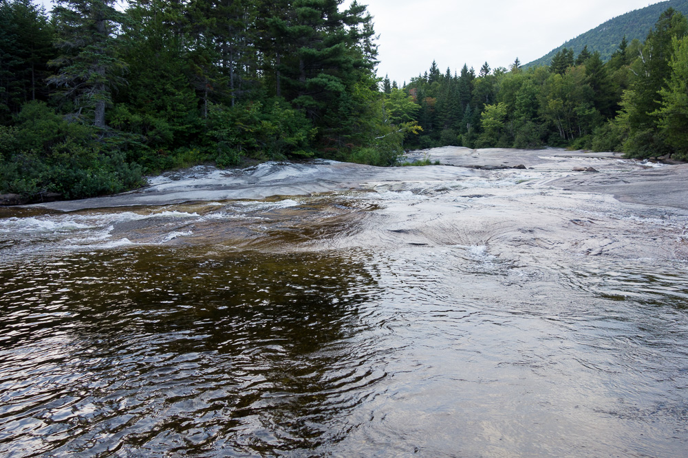
There is no running water in Baxter so I stopped at Ledge Falls on my way back to Nesowadnehunk Field for a quick dip to rinse the sweat off. That water was cold!
I drove to the ranger’s cabin to check on any weather updates for tomorrow and chatted with him for a while before going back to my campsite to cook dinner, read, and go to bed. I was hoping for a rest day between my two big hikes but the weather looks better for tomorrow than the day after so I will be getting up very early to drive to the other side of the park.
2 Pingbacks