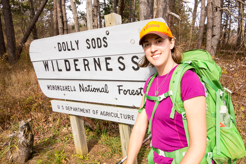
The Dolly Sods Wilderness is in the Monongahela National Forest in West Virginia, and elevations range from 2500′ to 4700′. The ecology is unusual for the area due to its elevation, but similar to environments found much father north. The name comes from a German family who homesteaded in the area named Dahle, and “sods” is what they called the open meadows there.
After driving up a very narrow and curvy forest road, I arrived at the Bear Rocks Trailhead in the early afternoon, and the winds were kicking. I couldn’t even walk in a straight line down the road from the parking area, the winds were blowing me over so much. Some women were just coming off the trail so I asked them if it got any better and they said, yes, within a mile I’d be more sheltered. They also said the trail was super wet though, so I went back to my car and grabbed my gore-tex socks and knee high gaiters. I hadn’t packed my boots but the trail runners would still be fine with the additions.
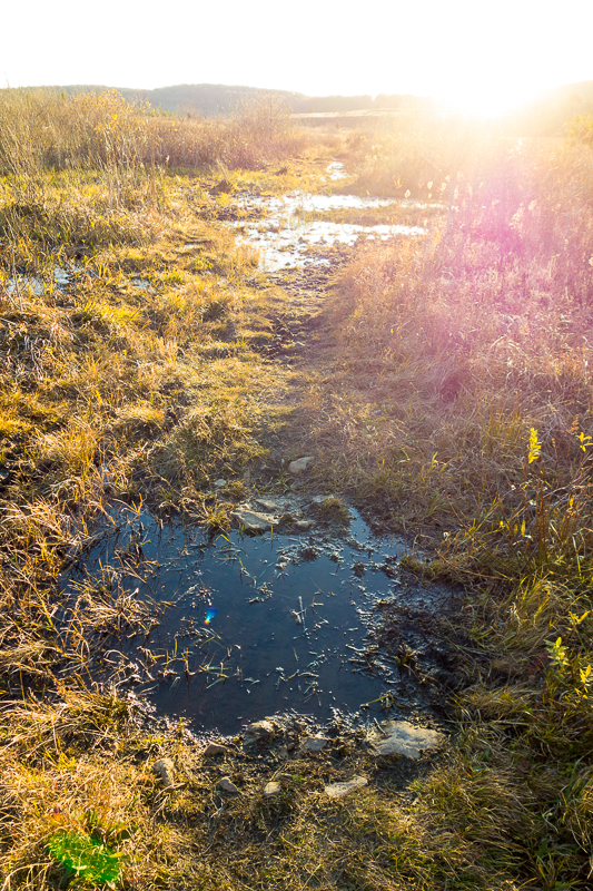
I headed off down the Bear Rocks Trail and was soon a little more sheltered from the wind. The trail was very wet and muddy in places but I could mostly avoid it. I popped out of the woods onto a high meadow and was exposed to the winds again but the views were worth it. I turned onto the Raven Ridge Trail and then the Rocky Ridge Trail, both of which were also mostly exposed. These three trails comprised my favorite section of the hike, Dolly Sods North. After this, I’d be in wooded areas the majority of the time.
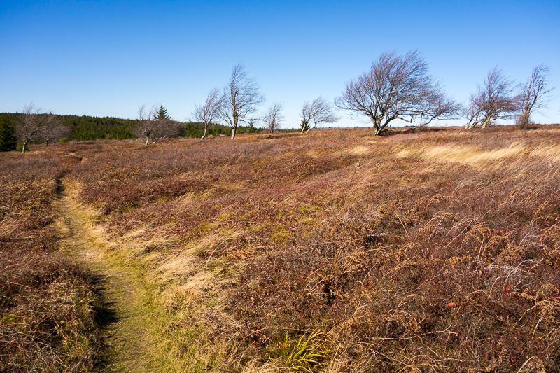
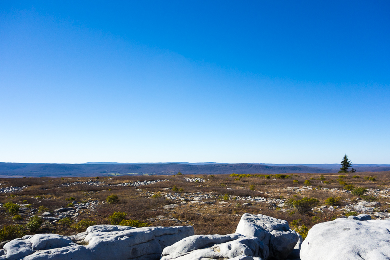
I hit the Blackbird Knob Trail briefly and then joined the Big Stonecoal Trail to start looking for a campsite. Campsites were not hard to find on the entire hike. Even on the high plains, I never went a mile without seeing a good one. After 8 miles, I found a large clearing in the woods that already had a big fire pit and many rocks to sit on so I set up there.
In the morning, I veered off of Big Stonecoal onto the Dunkenbarger Trail and then onto the Little Stonecoal Trail. I had to ford Red Creek at the end of it in order to join the Red Creek Trail. I would have to ford three more times, basically any time I crossed Red Creek. All of the other creeks I passed were rock hoppable but Red Creek was too wide.
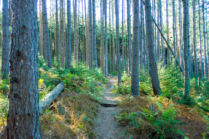

I joined the Blackbird Knob Trail again briefly and then turned onto the Upper Red Creek Trail. Next came the Dobbin Grade Trail, which I had read online was a boggy mess. I could have avoided it but I chose to check it out any way, and it was indeed a boggy mess. It was only bad for a half mile or so but there was no way to avoid the mud pits and I went in shin deep a few times.
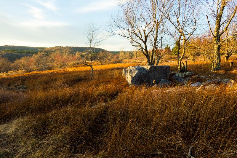
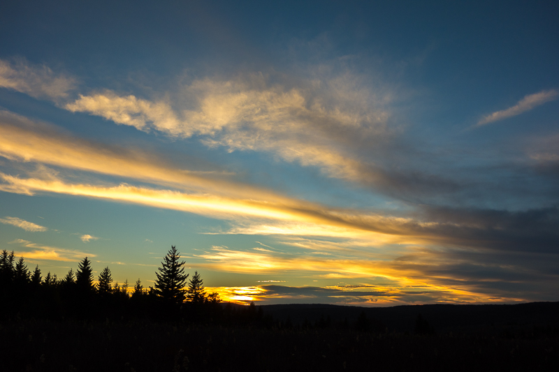
It was approaching sunset and I really wanted to be back on the ridge in time to catch it so I took the Beaver Dam Trail back up to the forest road and made it to the top just in time to catch a beautiful sunset. It was then just a short walk back down to my car after 14.5 miles.

Camping is not allowed within 300′ of the road so I chose to sleep in my car, a Toyota Corolla. I’ve been a bit obsessed lately with getting a Subaru Outback so that I can sleep in my car at trailheads or on road trips, and have good ground clearance and all wheel drive. I just can’t let go of the amazing mileage I get in my Corolla though, plus my mechanics are not fans of the Outback, saying it’s hard to maintain and leaks oil like crazy, so it was time to see if I could actually sleep in my car.
Curling up in the back seat was out as soon as I even tried to get in position there: way too short. I tilted the passenger seat all the way back instead and put a backpack and some blankets on the floor to prop my feet up. Still a bit short, and not even close to flat, but it wasn’t as bad as I expected it to be. I woke up a few times in the night but my longest stretch of sleep was four and a half hours, so that’s not bad at all. Sleeping in my car also set me up to view the sunrise in the morning, beautiful again.
I did a little more hiking on my last day there, maybe 8 miles total. First I drove down to another trailhead and hopped on the Wildlife Trail, which I took to the Rohrbaugh Trail. There were some exposed cliffs to hang out on but this was otherwise a wooded hike. I took the forest road back to my car and then briefly hiked the Northland Interpretive Loop.
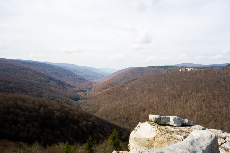

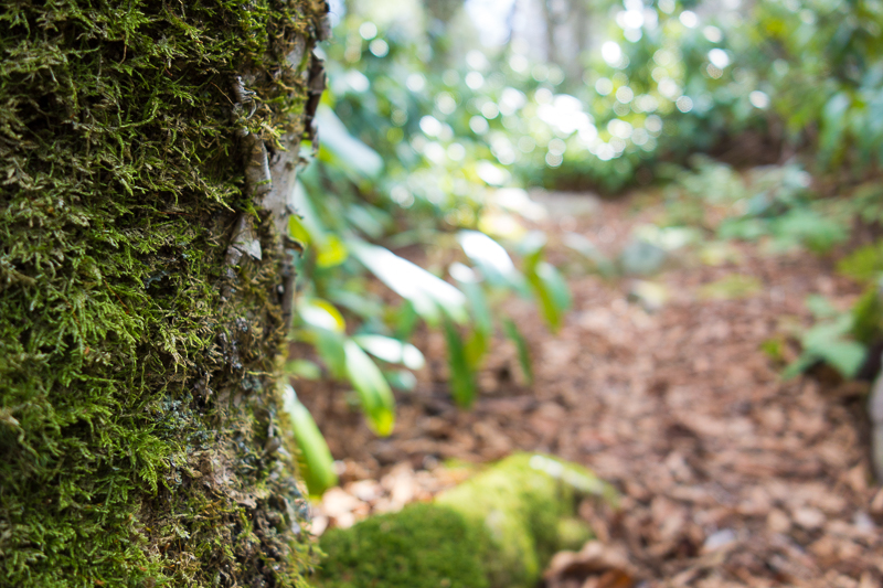

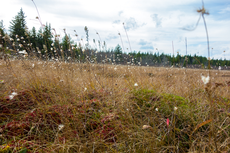
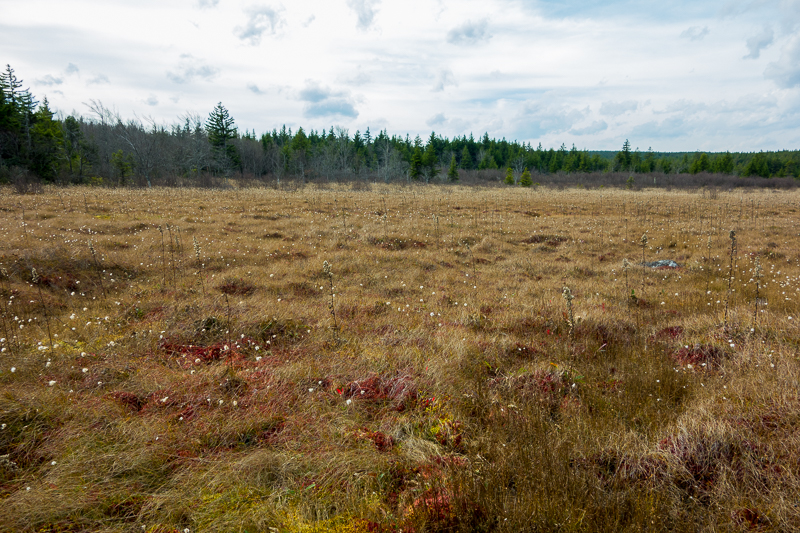
Next time, I would also explore some hiking in the Bear Rocks Preserve and Roaring Plains West, which are attached to Dolly Sods. I wasn’t aware of those before I got there so I had no trail maps with me this visit. I would also come a little bit earlier in the season to catch the fall colors, although I can’t complain about the weather I had: it was in the 70s and sunny the whole time.

Beautiful photos!
Beautiful photos!
Love the pics!!