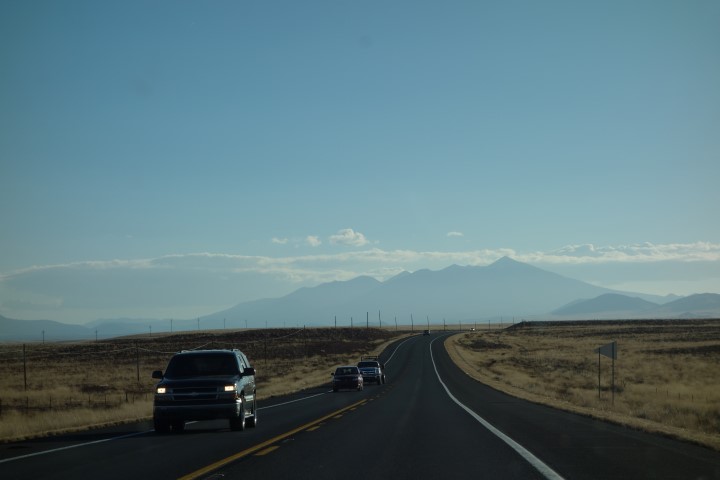
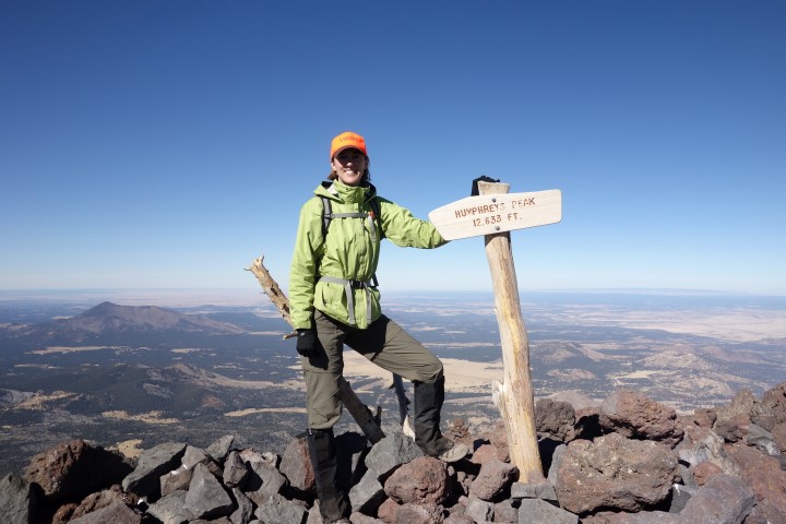
On the drive down to Flagstaff from Page, we had a great view of Humphrey’s Peak, the highest point in Arizona at 12,633′, and the mountain we would be climbing the next day. We were headed outside of town to do another short hike before camping near its trailhead.
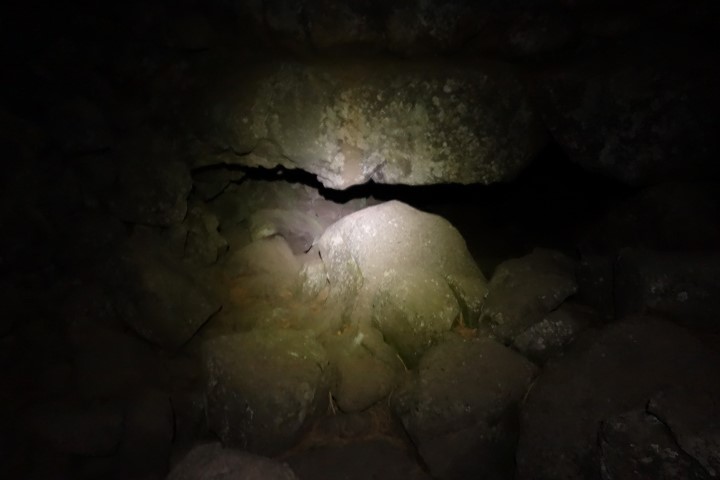
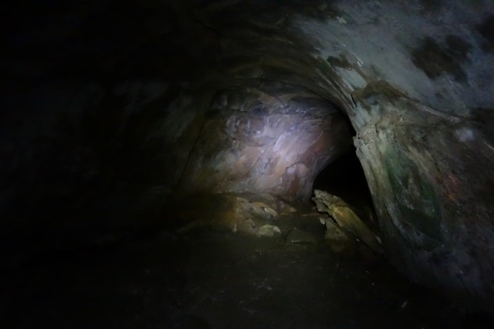
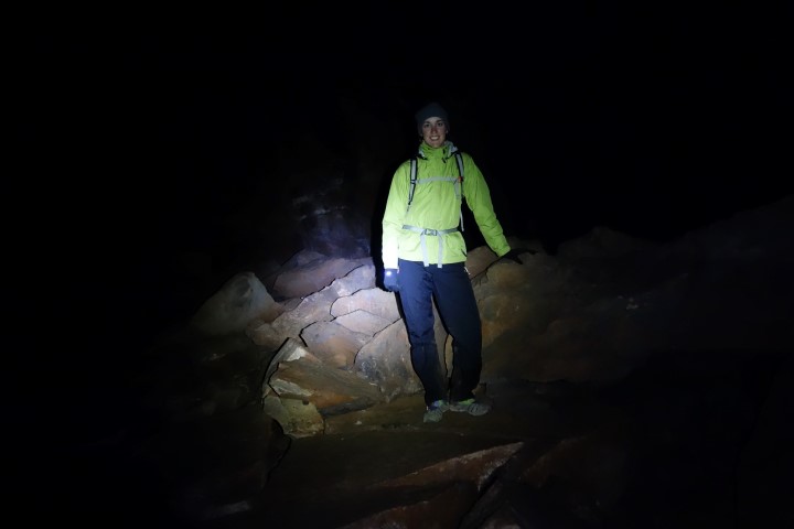
We followed a couple of Forest Service roads to Lava River Cave, a long tube cave formed 700,000 years ago by molten rock that erupted from a nearby volcanic vent. We cooked dinner first in the parking lot, then got our headlamps out and headed for the cave. It was getting dark, but it was still early and it would be pitch black inside any way, so it was perfect timing. My headlamp seemed dim so I popped some new batteries in and got the full power back.
The cave is .7 mile deep and pretty large inside once you get past the small opening. There were a few places we had to crouch to get through but otherwise the ceilings were very high and the path was very wide. It was cold inside too so I had on all my layers. The lava rock was slightly difficult to walk on but there wasn’t much scrambling involved. Overall, it was an easy, interesting hike to the end and back. Once all the way in, we turned our headlamps off to really get the feel of the darkness, but I saw a few glowing spots in my peripheral vision. After turning my light back on, I could see what looked like a few pieces of glow sticks people had left there.
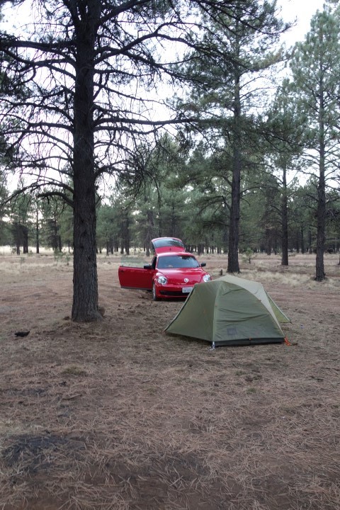
Once out of the cave, we drove most of the way back down the dirt road to find a camping spot. The roads were rough but still doable from the Beetle. We had to slow down a lot in several spots but it was fine. We found a level tent spot and set up there. It was very cold since we were somewhere between 7000′ and 8000′ elevation.
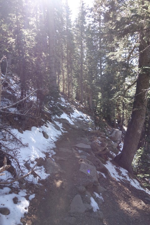
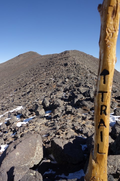
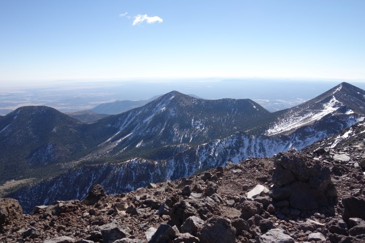
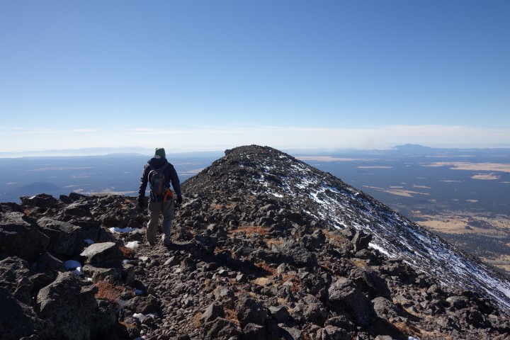
In the morning, we packed up and headed a few miles down the road to the Humphreys Peak trailhead in the Snow Bowl ski area. We were climbing up to 12,633′, true, but we were starting at 9270′ so it wasn’t as bad as it sounds. I’ve lived about 18′ above sea level most of my life, and even in my thru hike this year I only made it over 6000′ a couple of times, but I’d been hiking in this area for over a week now and hadn’t had too much trouble breathing. I seemed to breathe slightly heavier than normal on climbs, but I had been doing some steep ascents. The Humphreys Trail was one of the best graded trails I’ve ever been on though so it was a very gradual climb up. There was some snow and ice on shaded places of the trail but it was easily avoided or gone over. We went 3.7 miles on easy trail to the treeline, and then continued another mile over steeper lava rock to reach the peak. I did have to stop and take more frequent breathers on this section of trail.
I put on all my layers at the top in order to hang out there longer since it was quite cold. After eating lunch and signing the register, we started back down. Once back below treeline, I kept up a relatively quick pace all the way to the trailhead.
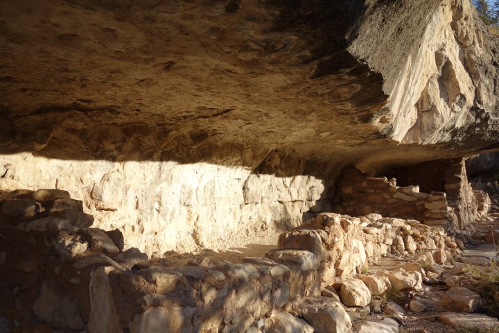
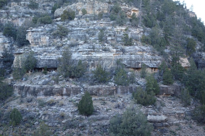
We ate some more lunch and then got back on the road to Walnut Canyon National Monument on the other side of town. There we did a short .9 mile loop hike on the Island Trail to check out homes left by the Sinagua cliff dwellers 800 years ago. They took advantage of natural caves there by building up walls to enclose them. It was very cool.

We went into town after that to have dinner with my couchsurfing friend Mark, who I’d met while hiking near Sedona two years ago. Then we grabbed a room for the night instead of camping again since it was so cold at that high elevation and we were too tired to drive down to Sedona.
Leave a Reply