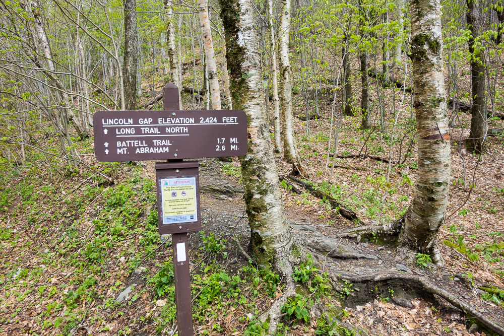
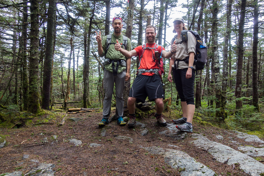
I’m trying to finish my Long Trail section hike this year and just need a few weekends to do it. The first was this weekend, Lincoln Gap to Route 2, with Switchfoot and Owen. They met at my place Friday night and we drove up to Lincoln Gap Saturday morning to get started.
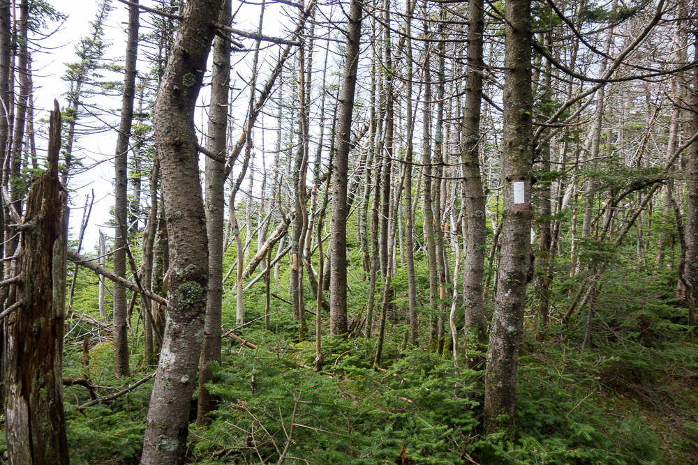
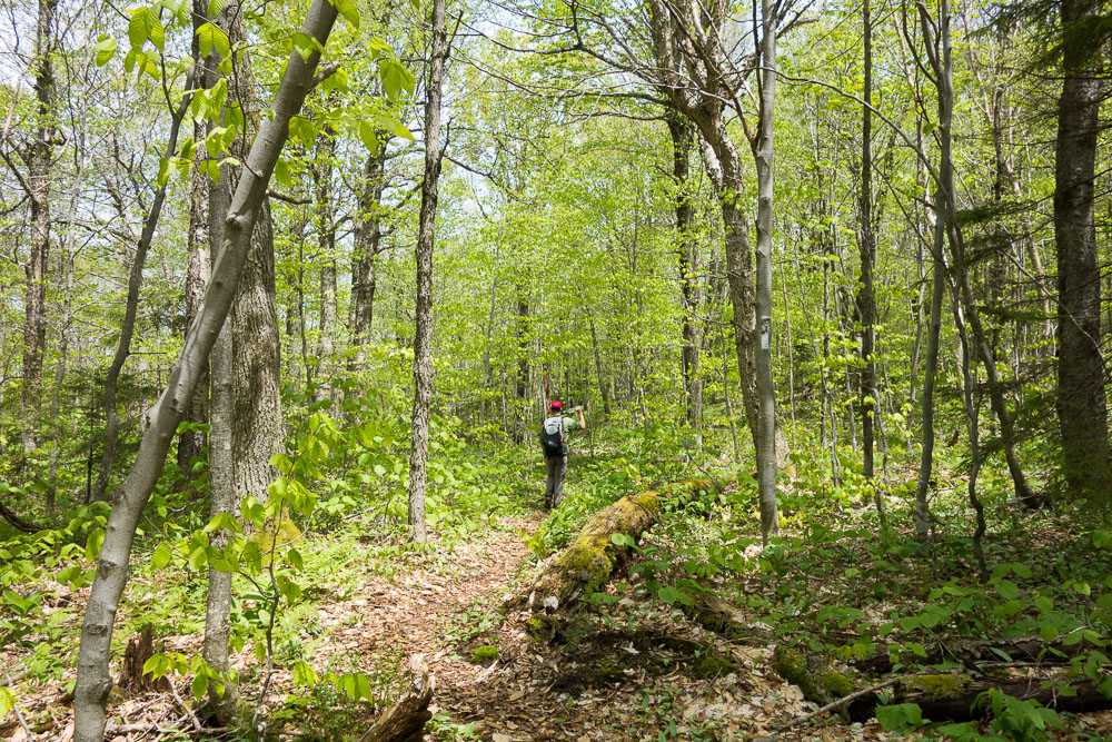
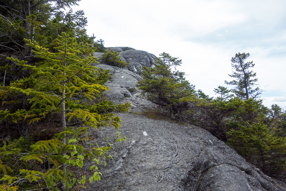
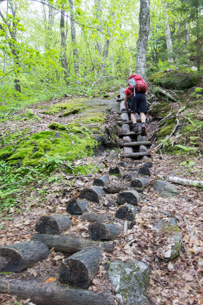
The Long Trail was rocky and steep, of course, and incredibly wet. Memorial Day weekend is typically the start of hiking season, but that doesn’t mean mud season is over, especially at high elevations.
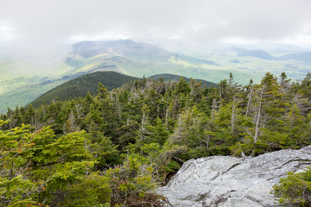
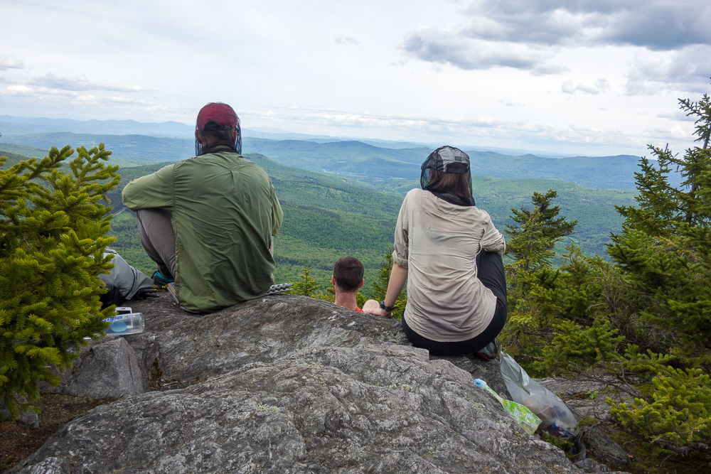
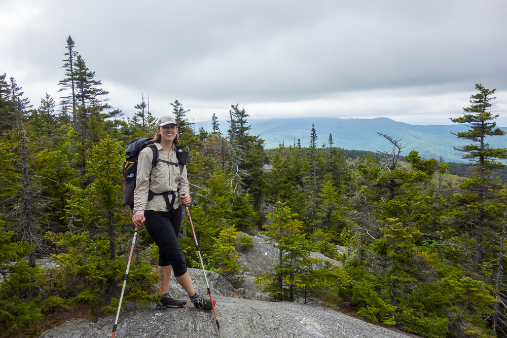
We made it up the initial incline to Battell Shelter, took a quick snack break, and then continued to the summit of Mount Abraham at 4006′. It was cloudy when we got to the top but the clouds soon cleared for a view. We enjoyed a nice, long lunch up there. Sitting on top of mountains is half the point of hiking for me.


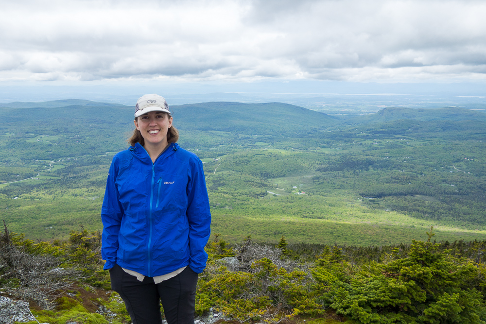
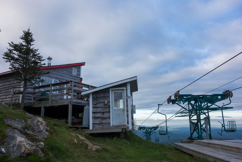
Leaving the summit of Abe, we stayed on the ridge and crossed over Little Abe, Lincoln Peak, Nancy Hanks Peak, and Cutts Peak on the way to Mount Ellen at 4083′. There was no view on Ellen but the ski lift just after it had a nice view so we had to stop for another long break in the sun.


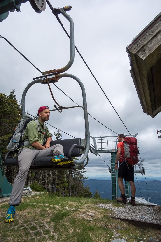
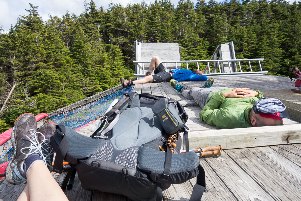
We continued on the ridgeline for a couple more miles, going over General Stark Mountain at 3662′, and stopping at Stark’s Nest for the night after 9.1 miles. It’s a Mad River Glen ski hut next to their single chair lift. There were three other girls already there to spend the night, plus a couple of other hikers who ended up leaving after cooking dinner. We cooked dinner on the large deck and then wandered into the clearing for a good sunset view.
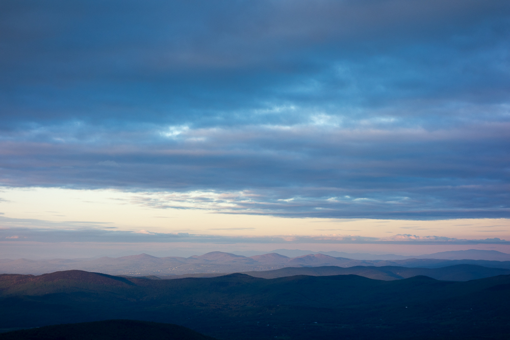


I had been pretty set on setting up my tent since I haven’t slept in it in a while, always being near shelters on my trips this season and last fall, but we all decided instead to cowboy camp on the deck in hopes of a sunrise view. I woke up briefly for the sunrise, and then hid my face and went back to sleep, of course.
When I got up later, it was to discover all my things were soaked with dew. Luckily, the sun soon hit the deck and we lazed around while everything dried.

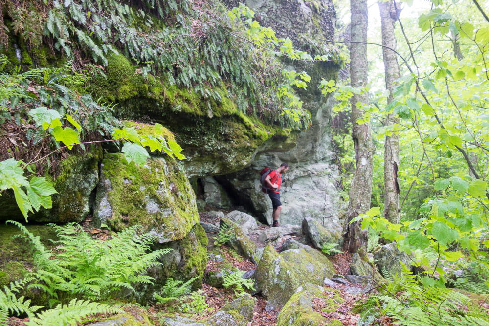
We hiked north, going downhill now, and passed the Theron Dean Shelter, a nearby cave bypass, and another MRG ski hut. It was a beautiful morning and we made good time down to Appalachian Gap. Owen and I had hiked part of this section this winter and didn’t make it far. It was interesting to see exactly where we had turned around when the snow was too deep on a sketchy overhang, and to see all the rebar in place for the steep sections we had somehow scrambled up before.


Once we crossed Appalachian Gap, it was like a switch was flipped and the bugs suddenly came out. I was very glad I had switched to my long sleeve hiking shirt right before leaving the house, instead of a short sleeve knit shirt. It helped a lot to protect my arms, and I relied on bug spray to protect my lower legs. I hate hiking in pants so I had compromised on capris and regretted it some. I even had to get my head net out when we were moving through some scrambly sections and I couldn’t hike faster than the black flies. After Baby Stark Mountain and Molly Stark Mountain, we stopped for lunch at Birch Glen Camp, but the black flies were too bad to stay long, and they started biting! My head net would stay on the rest of the day.
It was a nice, gradual uphill hike through Huntington Gap from there, to another quick break at Cowles Cove Shelter. We had been toying with the idea of hiking farther that night in order to be over Camel’s Hump before possible storms in the morning, but I was definitely not moving as fast as the day before. There was more elevation change and we still had a few mountains to go over before Camel’s Hump so we decided to not rush it and stick to the original plan.

We started going up Burnt Rock Mountain, very steep and slabby at the end, and busy too since there’s a short side trail that brings people in. We went all the way past the summit at 3168′ to get away from other people, stopping at a small overlook before the trail dipped back into the woods. Then a man with half a dozen kids with him decided it would be a good spot to stop at too. They all sat within feet of us, and between us and our packs, and proceeded to be incredibly loud. The spot was no longer relaxing for me at that point so I got moving down the trail.


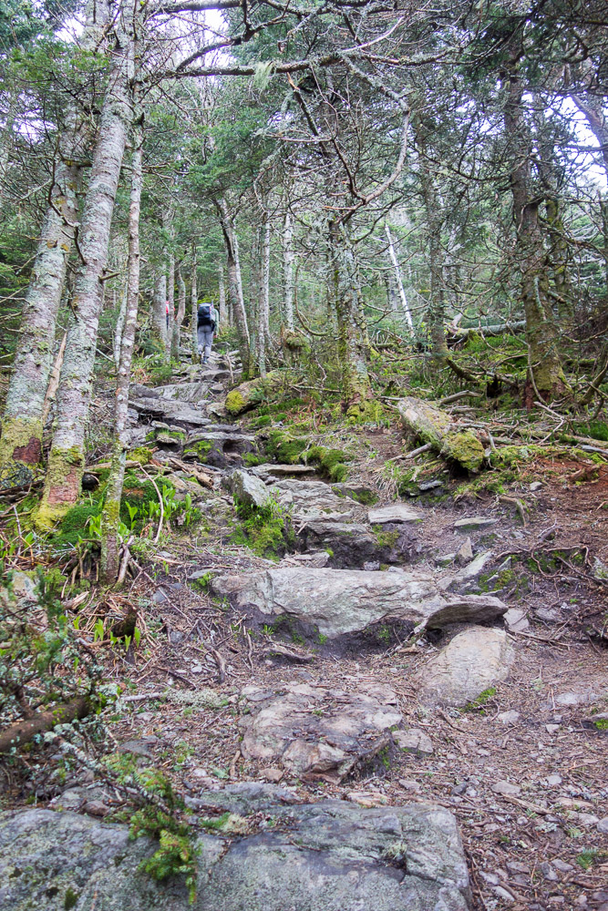
There was a steep downhill, steep uphill to Mount Ethan Allen at 3688′, and then steep downhill to Montclair Glen Lodge, where we stopped at 13.1 miles for the day. Since we’re just out of mud season, the trail maintainers hadn’t been out yet and there were tons of trees down from the winter in this section.
There was a group of three guys already in the shelter when I arrived but they made room when I told them two more people were coming after me. Switchfoot and Owen had stopped on top of Ethan Allen for a view, but I was out of water and wanted my dinner so I kept going. I filled up on water and started cooking as soon as I got to the shelter.

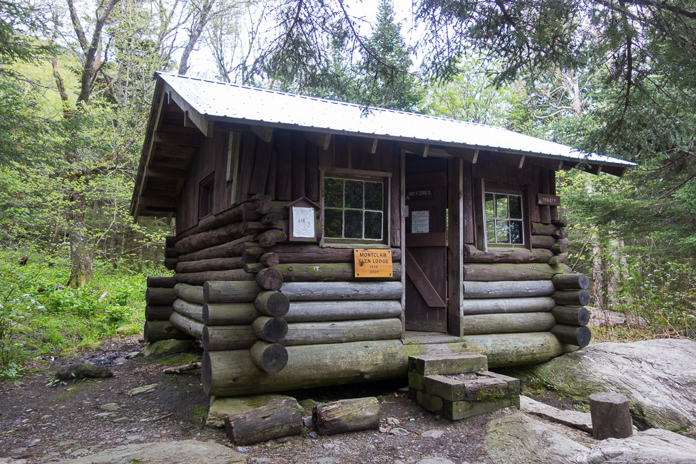

We sat outside to eat and tried to put up with the bugs as long as possible, but did have to admit defeat and go in the enclosed shelter at sunset. My group was on the top bunk and we had plenty of room.
The morning’s forecast was not looking good, so I was ready to pack it in at the next side trail to avoid Camel’s Hump in a thunderstorm. It’s so close to my house, I don’t mind bailing since I can easily get back for this section of trail. It’s a little harder for Switchfoot to get back so he wanted to take the chance, and I’m glad we did. The weather turned out to be not too bad.
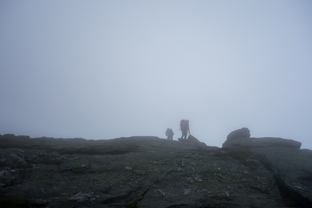
We started up the steep trail towards Camel’s Hump early. We were protected in the trees but I could hear the wind as we got closer to treeline. There was some visibilty on the way up, but that stopped the higher we got. At treeline, the wind was whipping, and I put my jacket on to keep warm and to keep my hat from flying off. I had to brace myself for each step and lean hard into the wind in order to not fall over. Once on the summit at 4083′, I could barely move, mostly concentrating on standing still. We took the obligatory summit photo and then kept going to get back into the trees.


The wind was not bad on the other side of Camel’s Hump and we made it down to the hut clearing before it started sprinkling. I stopped for a snack and then continued north down the steep decline. It eventually leveled out some onto Bamforth Ridge, which has many exposed areas and views. It only sprinkled lightly off and on so I didn’t have my jacket on most of the day after the summit. There were just little ups and downs over the ridge so I made good time again.

Once near Bamforth Ridge Shelter, the trail started getting steeper again but we were still moving quickly downhill. We made it to Duxbury Window, where I’d been before, and then kept going down to Duxbury Road.

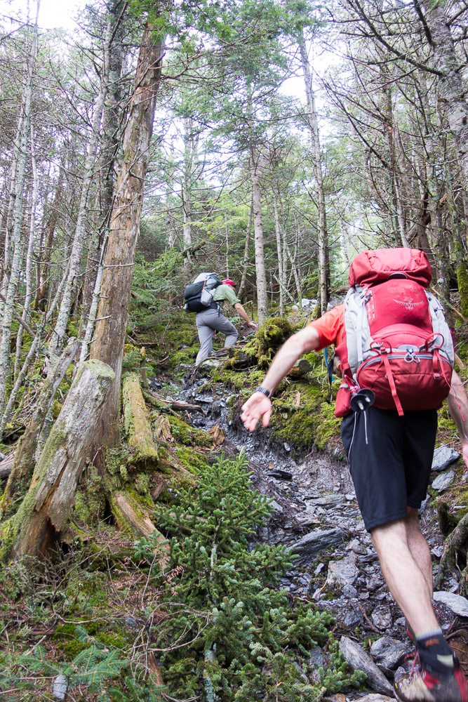
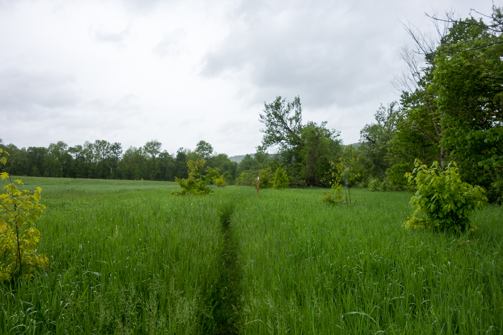
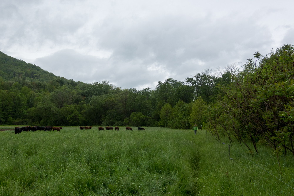
The trail follows the road for a bit here, before ducking into some farm fields along the Winooski River. Moving on a narrow trail through chest-high ferns and then thigh-high grasses, we were soaked immediately from all the water sitting on the vegetation.

There were a few very nice stiles going over electric fences in the farm fields, and then there were some electric fences that we had to take our packs off to duck under. We had to ford a stream, which claimed to have a dry crossing farther upstream, but there was no point in checking it out since we were soaked already from the fields. We walked right through.


I had been texting Rebecca, who was going to park at Route 2 and then hike in to meet us and drive us back to our car. She had gotten a late start with the bad weather so we would just be running into each other at the end of the hike. I saw her coming through the field towards us, and then I saw all the cows suddenly take a very keen interest in her. I hurried to intercept since I’m comfortable yelling at cows from my brief western riding days. We managed to drive them away, and then I realized they had seen Switchfoot and Owen and were running towards them. The guys made it to the electric fence and ducked under just in time.

The trail got back onto the road at that point and we crossed the Winooski River Footbridge and finished at Route 2, 10.9 miles for the day.


We went to pick up the car at Lincoln Gap then stopped in Waitsfield for hot pizza, a lovely end to a wet day.
3 Pingbacks