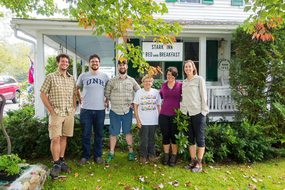
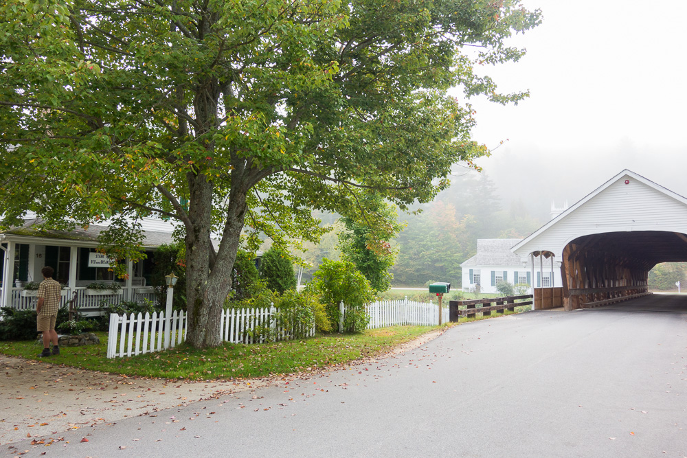
We all met on the porch in the morning to sort laundry and repack while Nancy was making breakfast. And a delicious breakfast it was with scrambled eggs, fresh fruit, orange juice, potatoes, and sausage bread. Nancy was an excellent cook and hostess and we really enjoyed our time at the inn. She’s also very knowledgeable about the Cohos Trail and shared lots of info she’d learned from other recent hikers.
We finished packing up after lunch and loaded into the car to head back to the trail. Spoon and Kyle dropped Chuckles and Jon and I off at Bell Hill Road, where they would be going home from. Another car drove by while we were unloading, with a couple of women in the back who looked like thru hikers. They noticed us too and turned around and came back to talk. Turns out they were thru paddling the Northern Forest Canoe Trail and were in the car of the people whose river-front property they’d stayed on last night. We had a short chat and then they had to go.
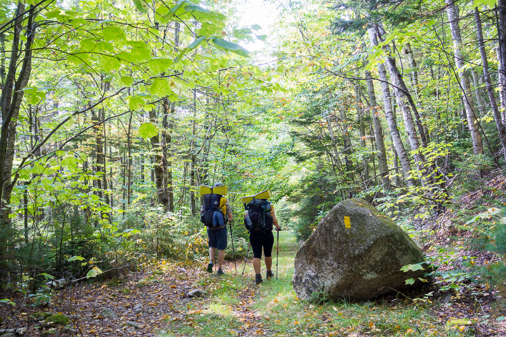
We started walking, up to Percy Road and then the Bald Mountain Notch Trail. The databook and map weren’t clear when we reached a junction of skimobiles trails so we kept going straight when maybe we should have turned right. We were having some deep conversation but eventually realized that we were staying flat when we should have been climbing so we looked at the GPS on Chuckles’ phone and saw that we were almost down to Christine Lake on a trail that wasn’t even shown on our map. We started walking back but instead of walking all the way back, decided to take the first uphill, northbound trail we came across in order to link back up with where we needed to be.
The skimobile or ATV trail we’d taken quickly grew very overgrown and we were pretty much bushwhacking. By comparing Chuckle’s GPS to our paper map, we could see that we were getting towards where the trail should be. When our trail completely disappeared, we started following the contour lines around Bald Mountain instead and eventually popped back on the trail, right in front of a yellow blaze! Of course, from here the trail was blazed very well, almost over blazed. It was an hour and a half from when we’d realized we were off trail to when we connected back in.
We hiked around to the Rowells Link junction and stopped there for lunch since we knew we were definitely on trail and it had a little level spot to rest.

After lunch, we headed down Rowells Link to Jimmy Cole Brook Road to the Old Summer Club Trail. These were really nice trails, and really, really well blazed. I found a pretty nice folding saw in some ferns next to the trail and picked it up to carry somewhere it could find its owner. We realized carrying it to our next trailhead would get it farther from its owner so we left it on a sign next to a creek where it would be very visible in the hopes that its owner would come looking.
Shortly after, we ran into Decibel, a southbounder, on the old road bed. We knew he’d be coming since Nancy had told us he’d be staying with her tonight, and he knew we’d be coming too. We stopped to share good campsite and water info in either direction, and he agreed to take the saw back to Nancy so she could find its owner.

The Old Summer Club Trail took us up toward the Percy Peaks but we didn’t take the spur trails to the summit since they would have added over a mile each to our day. We joined the Percy Loop Trail then the Trio Trail but stopped for a short break. We were running behind for the day due to our morning detour so we didn’t want to break too long. Not only is getting to an uncertain camp before dark important, but I like to eat dinner as early as possible. Getting into camp late means dinner is even later.

The Trio Trail was really nice and generally easy walking. We got some views through open areas that were just beautiful and that golden hour light was coming through the trees along the way.
We’d also been following fresh, big moose tracks all day and I kept hoping that any minute we’d pop around a corner and see one. No such luck.
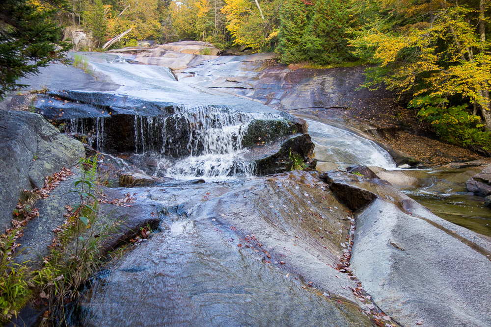
We got down to Trio Ponds Road then hopped on the Ponds Brook Falls Trail. We’d been hoping to find good camping near the falls but there wasn’t anything spectacular for three tents so we decided to go a little farther and see if there were more clear areas somewhere else on this flat part of the route.

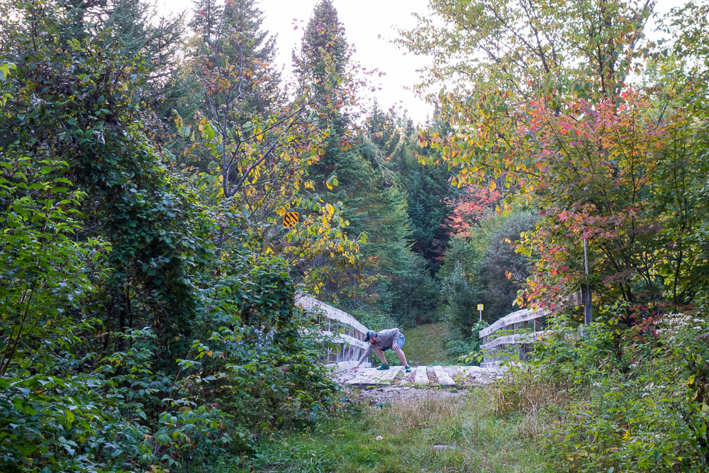
We got to Nash Stream Road, passed the gate, and started walking over the large Trailblazer Bridge. I was in front and was moving at a good pace when I suddenly felt a really harsh stinging behind my left knee. I didn’t know what was going on but I started jumping and swatting at whatever was getting me, while my trekking poles went flying and I also tried to run away, while screaming profanities and my right knee started stinging too.
I got to the other side of the bridge and turned around to see Jon retreating from the part of the bridge he’d made it over, then he and Chuckles standing there shaking their heads at me. We saw a bunch of hornets flying around one side of the bridge and realized what had gotten me. The stings (back of left knee, front of right) still felt like I was being stung and were bleeding to boot. F*ing hornets!
We didn’t know if camping was ahead but I did know we could at least camp behind the gate we’d just passed so I knew I had to head back over the bridge. I walked very slowly and gently across the opposite side of the bridge from the hornets and left my trekking poles where they’d landed since I didn’t want to go anywhere near the hornets again. I figured I’d borrow someone else’s pole for my tent for the night and get them in the morning. Chuckles and Jon weren’t willing to leave them there though and Chuckles started putting her rain gear on as protection to go get them. Meanwhile, Jon very gingerly walked out onto the bridge and retrieved them one at a time without being stung.
The dirt road between the gate and the bridge was flat and mostly clear so we set up camp there for the night, and found a different trail down to Nash Stream for water. 12.9 miles for the day.
Leave a Reply