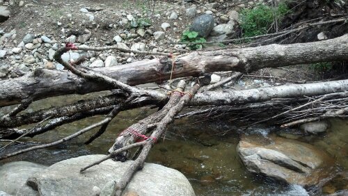
We went past a two year old “temporary reroute” today. We still took the trail instead of the bypass but it’s easy to see damage leftover from Hurricane Irene in 2011. Streams that rerouted themselves through the woods, bridges out, trail washed away, lots of trees down. It wasn’t difficult to get through but I did have to ford two brooks. Other hikers made it across rock hopping but there were some longer leaps onto slick rock, and I’m not trying to hurt myself more if I slip and fall. I rolled up my pants and waded instead. The whole area was just not maintained very well any more, or maybe they had so many sections of trail damaged from the storm, this one is still leftover needing to be fixed. The reroute sign specifically mentioned one bridge out but the ridgerunner had told Stretch it was there. Turns out the “bridge” was not the original, or a replacement, but some logs tied together with paracord. It even had a railing. It was a little bouncy but it worked.
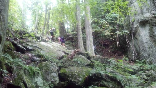
The climb over Killington started to get a little bit harder. It was more of what I originally pictured the Long Trail to look like, not the easier trail we’ve been on since the beginning of Vermont. I hear the northern section is much more difficult but we will be splitting off from the LT tomorrow. I will have to come back and complete it another time since I’ve done half already.
I made it 17.4 miles down to US 4 and since it was dark and started raining, the consensus was to stop there instead of going the few more miles we had planned on. We found a motel room and some fast food before sleep.
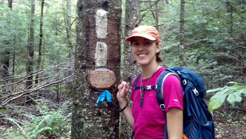
Less than 500 miles to Katahdin!


You got this!!! Easy! 🙂