I slept really long and well again last night. I love being back in my tent!
After breakfast, we hiked the little bit of Edmands Path left to Mount Clinton Road, turned up the road, then turned off onto an unnamed old grassy railbed. The databook causes some confusion here because there are two paths to take and it says to take the one with the gate. Well, they both had gates. But with the other criteria mentioned, we took the second path and it took us correctly to the Abenaki Crossing XC Ski Trail. There was more confusion getting onto the B&M Rail Trail because it says to go straight when we really should have turned right along the water. After walking five or ten minutes out of our way, we realized we weren’t hitting the next waypoints and turned back and figured it out with the map.

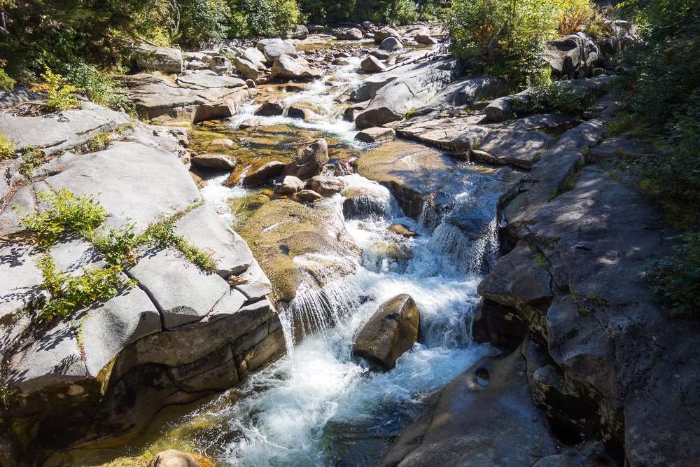
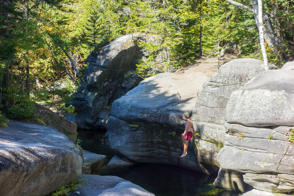
We soon came to a short spur to the Upper Falls on the Ammonoosuc River, which we, of course, went to check out. From the bridge over the water, we could see what looked like a cool cliff jumping spot. Kyle realized he’d jumped there before and walked over to do it again. Chuckles then joined him. It was too early in the day for me to get all wet and deal with chafing all day so I refrained. Plus, the water was freezing. Jon doesn’t swim but Spoon and I high-fived over the fact that we’re just sticks in the mud.
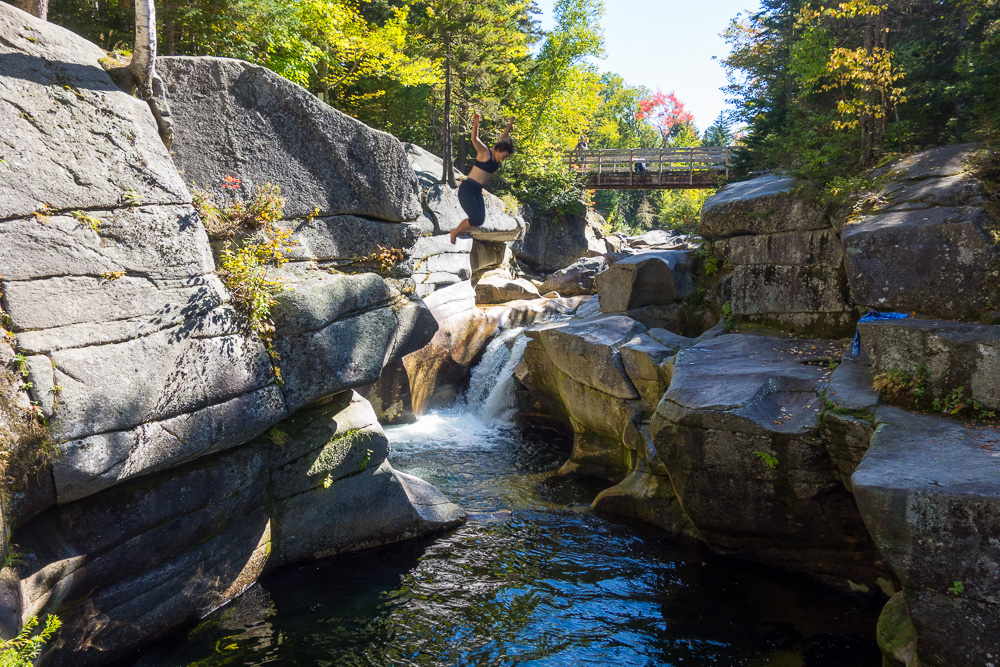
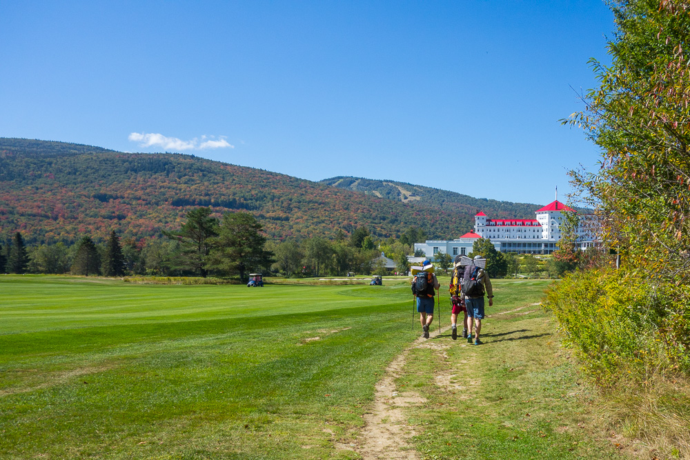
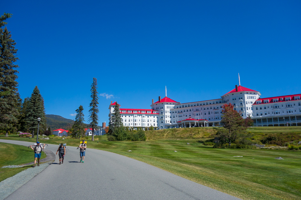
After taking a break for them to dry out, we got back on the B&M Rail Trail, went and looked at the Middle Falls, then popped out onto the fairway at the Mount Washington Hotel, which was slightly surreal. We definitely didn’t fit in there, and tried to walk around and get off the property as quickly as possible.

We road walked a bit up 302 and were able to stop for lunch at the Bretton Woods Market and Deli. I already had food I needed to eat but I did get a milkshake to go with it. Then it was back onto 302 and up the gravel Cherry Mountain Road. There are nine primitive, drive-in campsites along the road that are free and first-come, first-served. It’s definitely a place to check out later, and the signs also mentioned similar campsites at Gale River and Haystack.
I hadn’t completely filled up on water at the store since it looked like we’d cross water several times on Cherry Mountain Road. A lot of the creeks ended up being dry or muddy so when we came to a pond that almost definitely had beavers in it, I still needed the water. I filtered it and then treated it with aqua mira it to be safe, and really just to make the taste better too.

We debated camping at the highest site on the road since we didn’t have a definite campsite we were aiming for, just a place where the contour lines looked amenable to camping. It was too early to stop though so we kept going. It was a long, hot slog up the Cherry Mountain Trail from the road, although the trail wasn’t particularly steep and was only a few miles. It was a wide, grassy trail again, usually with a narrow path through the weeds.


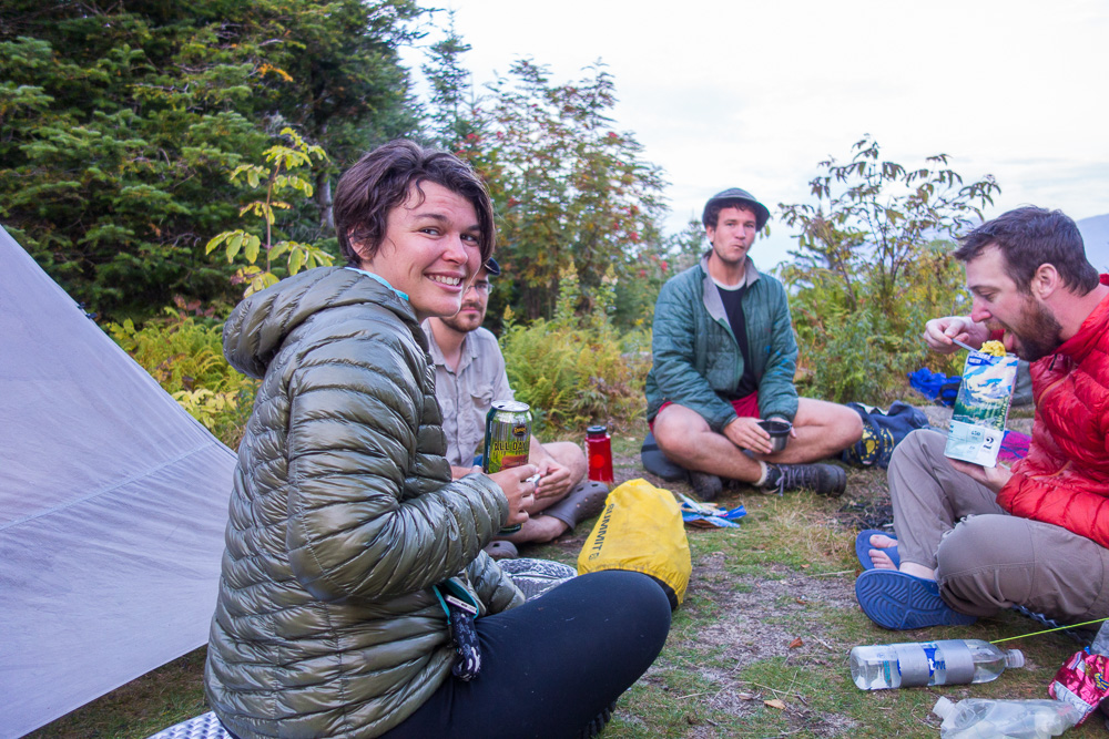
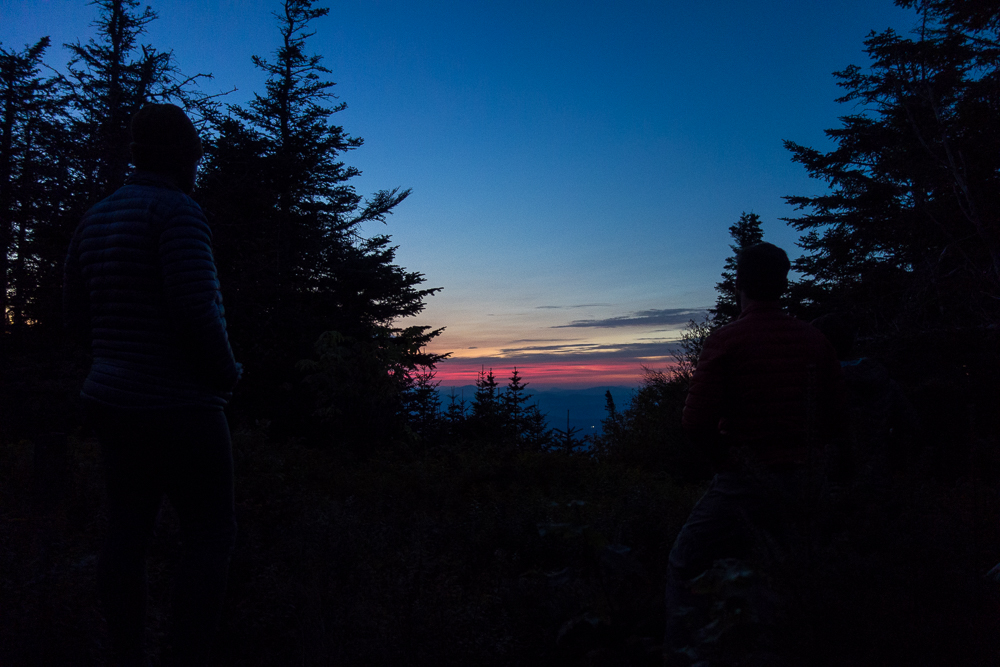
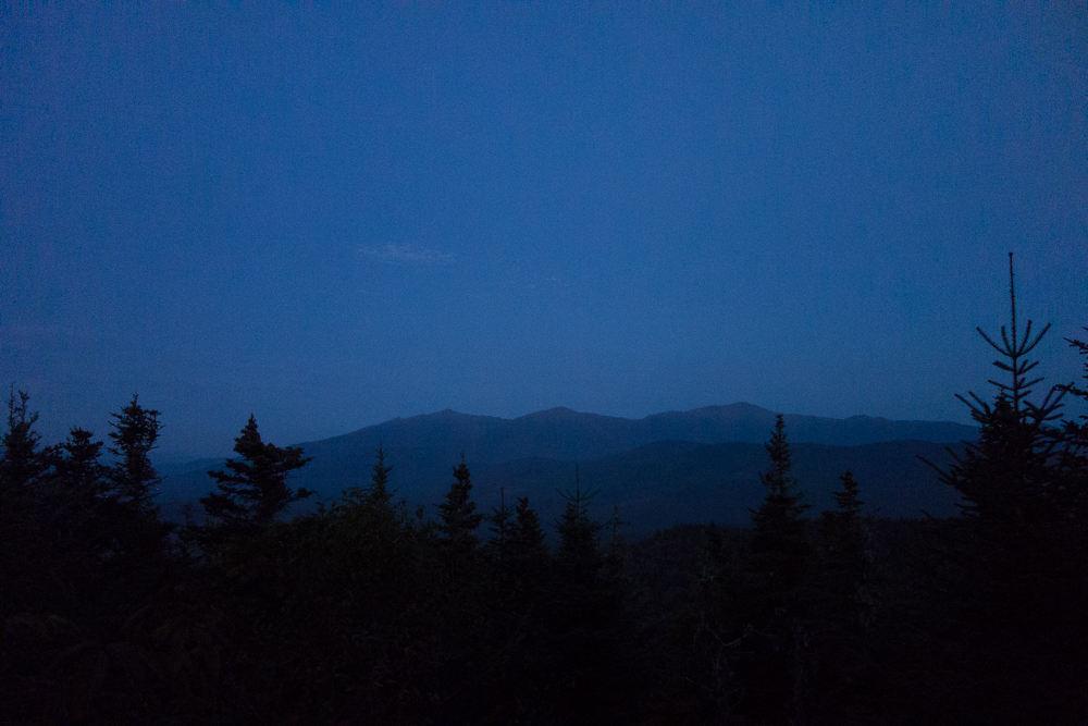
We got to the junction just before the summit of Mount Martha where we had been hoping to camp to find the only clear space in the trail itself. We could’ve fit, although sleeping in the trail is not really kosher, but the chances of anyone else coming by were almost nil. Chuckles ran the quarter mile up to the summit at 3563′ to see if there was room to camp up there, and there was. We kept going and set up and cooked dinner in time to catch the sunset. 11.7 miles for the day.
1 Pingback