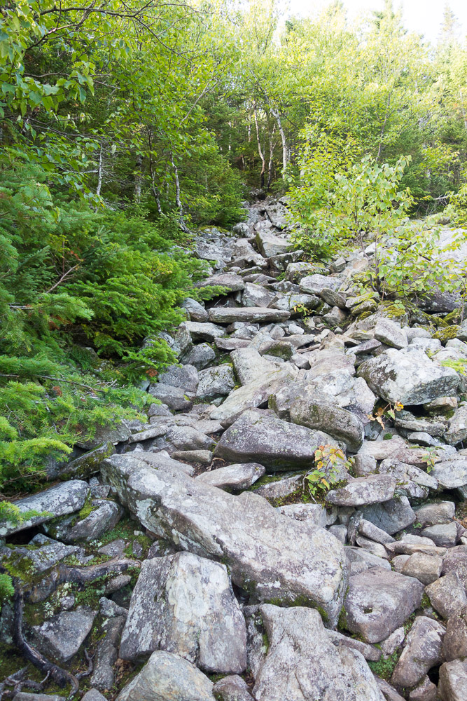
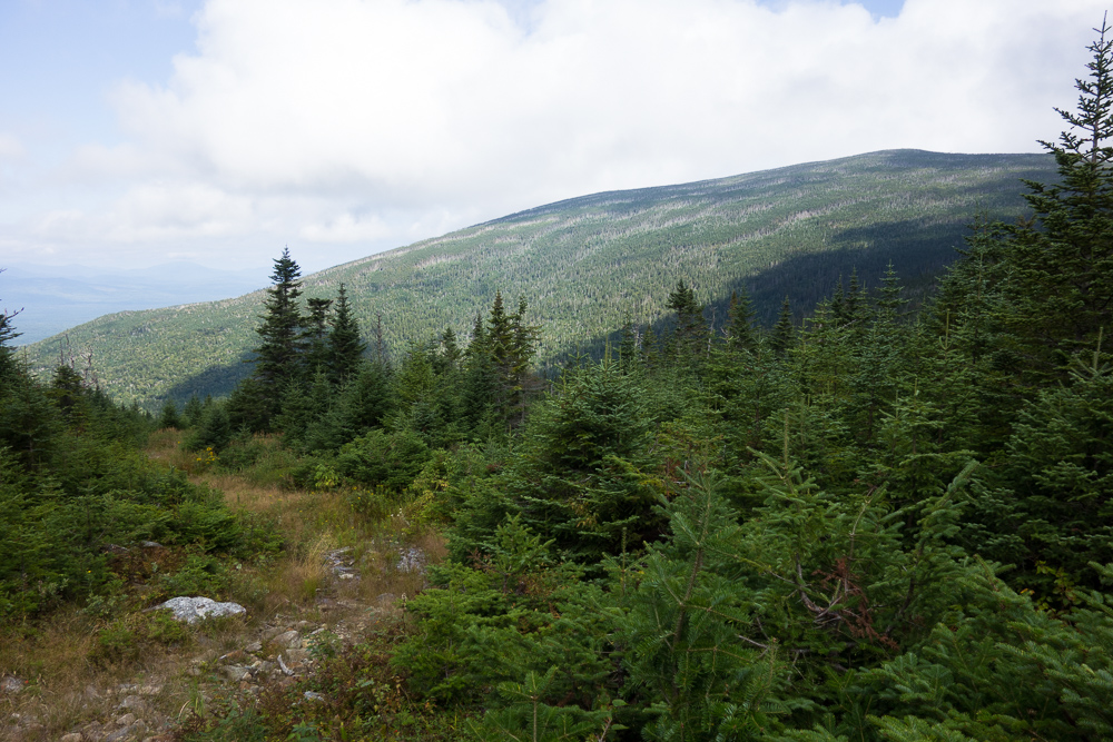
I’ve only slept in my Corolla once before, and just like that time, my longest stretch of sleep last night was about four hours. But I was still feeling pretty awake. After wasting some time, I headed back up the road after 8:00, but this time went north on the Appalachian Trail. The first mile wasn’t too steep, although it was very rooty and rocky, and the second mile got steeper up to South Crocker Mountain at 4050′.


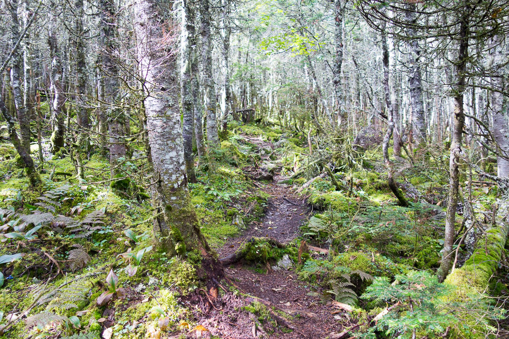
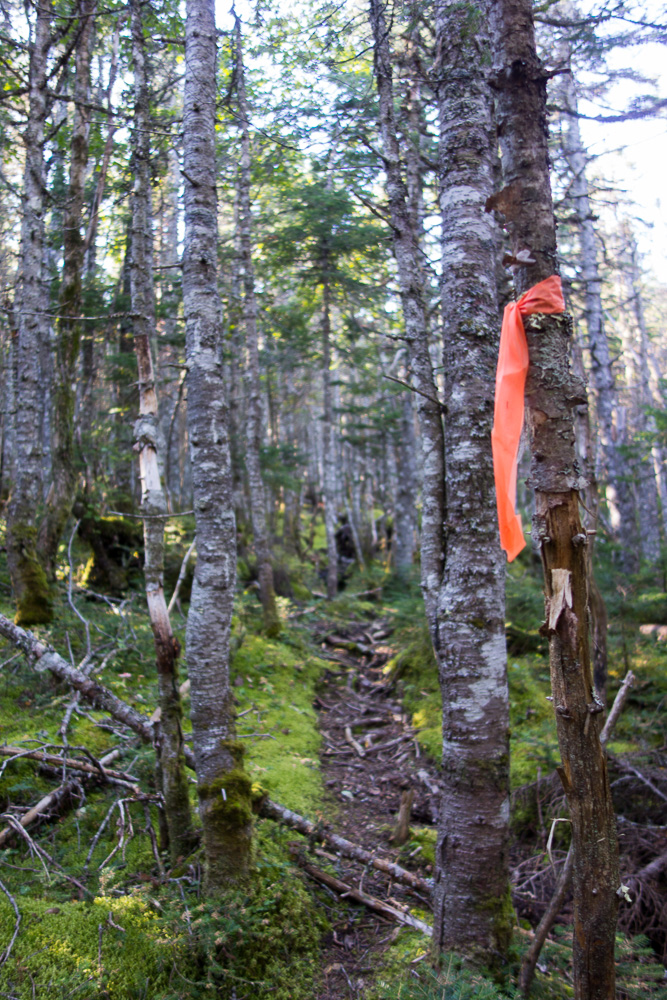
After enjoying the viewpoint, I headed out on my second bushwhack of the trip, to Mount Redington. Once again, I had written directions how to get to the summit and a GPS track just in case. The herd path here is very well worn down, the woods are generally more open (compared to Fort Mountain), and someone even marked a lot of it with surveyor’s tape. There was definitely evidence of trail maintenance along the path as well.
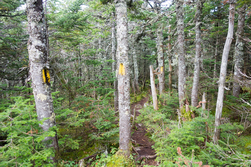
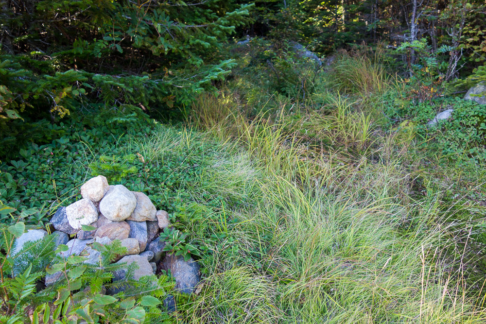
Directions: When just about to the viewpoint on the spur from the AT, take the herd path to the right (instead of left to the view). After a couple of minutes, come to the boundary line and go right. This is marked with yellow blazes/markers. After 200 feet (70 adult steps), go left. I couldn’t miss this one as there was a cairn and a line across the boundary blocking me from going straight.
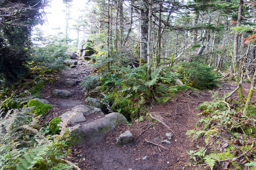
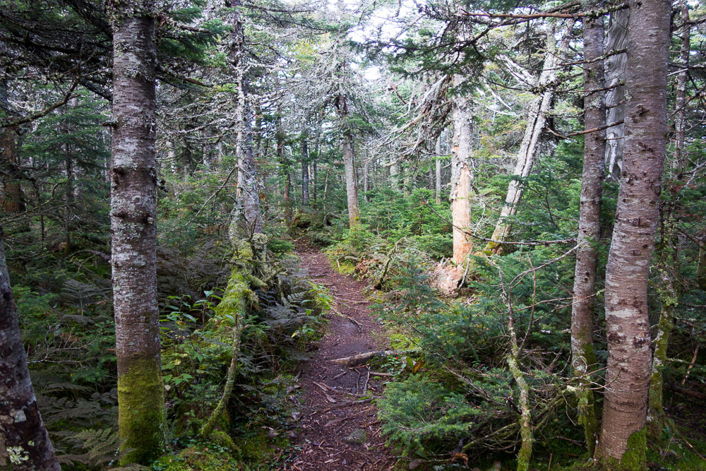
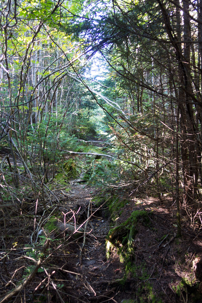
The path from here was incredibly easy to follow and I wasn’t even getting particularly scratched up. This might as well be an official trail, it’s so well worn and marked. After being in the woods down to the saddle, I came upon a marshy area and then an old woods road. Presumably, the road led to the summit, but I also wondered where the downhill side went. And did Redington used to have an official trail or some other developed infrastructure?
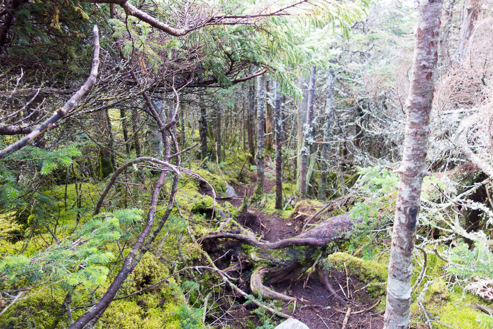


With giant arrows made of sticks and little cairns showing the way back into the woods, it really wasn’t difficult to find the path to the summit. It did look like there were a couple of other herd paths branching off on the way up, but I always stuck to the strongest one.

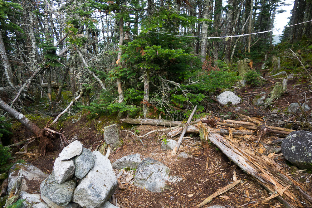
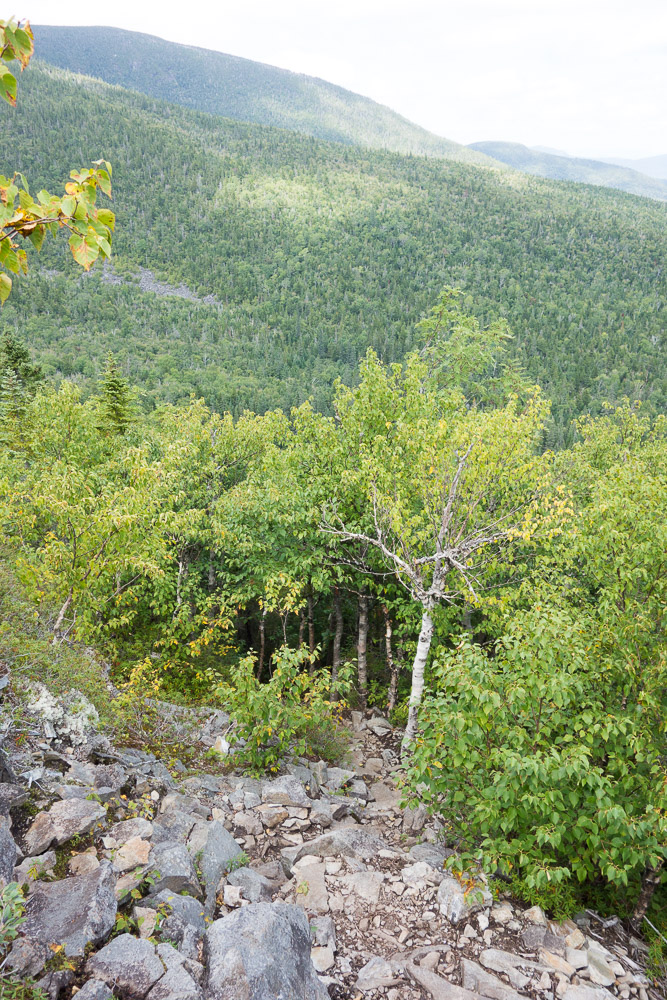
It was about 1.2 miles from South Crocker to the summit of Mount Redington at 4010′. There was even a summit sign, which isn’t a guarantee even on a summit with a maintained trail.
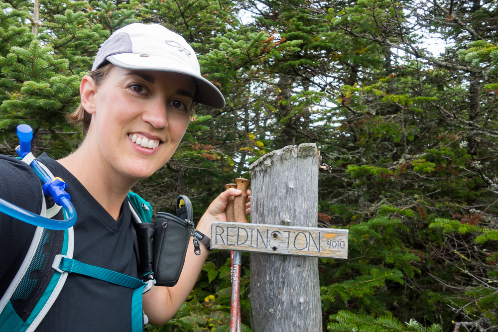
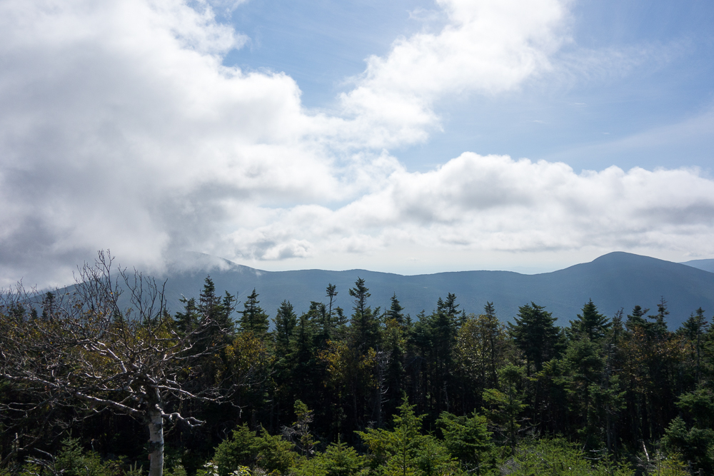
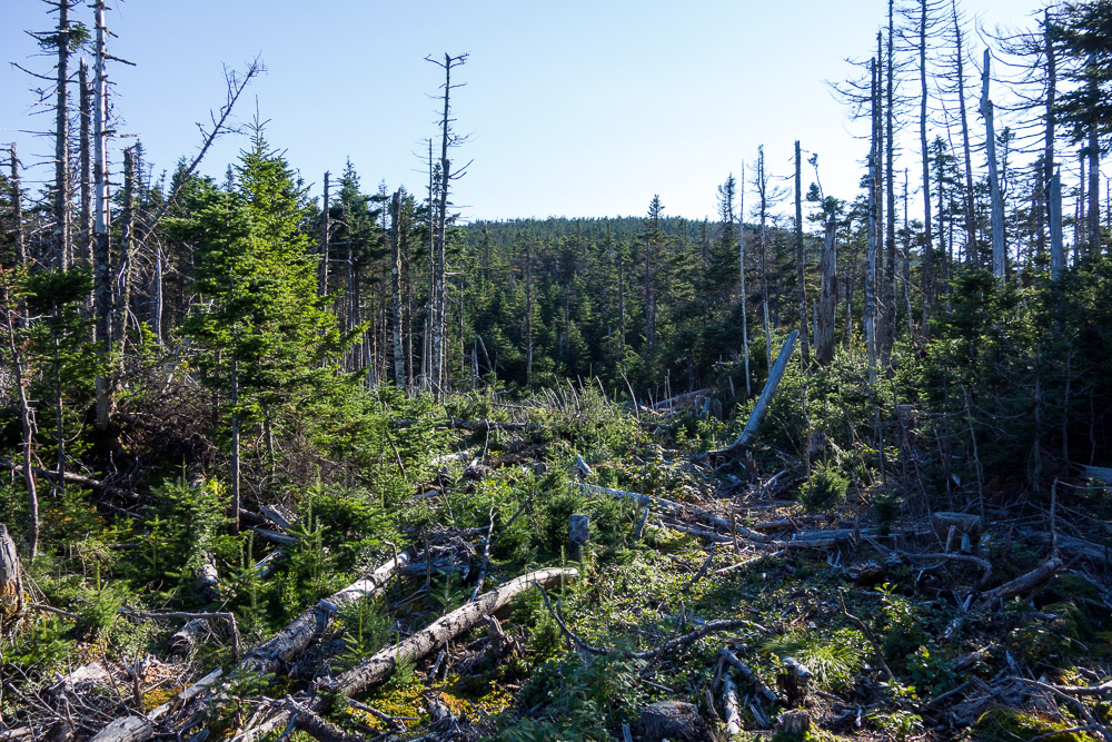
There was a small clearing at the summit, but no particular views, so I simply turned around and started hiking back. When I arrived back at South Crocker, there was a couple with a baby about to head over to Redington to I gave them my beta and we parted ways.
It was a 6.6-mile hike, plus the mile of dirt road walking at the bottom. Back at my car, I made lunch and started driving the two hours over to my next hike, Elephant Mountain. Just outside of Andover, ME, Elephant is another bushwhack on the New England Hundred Highest list. I figured I may as well get it while I was in the area.
The drive over to Elephant consisted of a lot of gravel roads, not all in the best shape. One of them even had a bridge out just a mile before my turn so I had to backtrack way around to get to South Arm Road. And then there was the drive up Elephant Mountain Road.
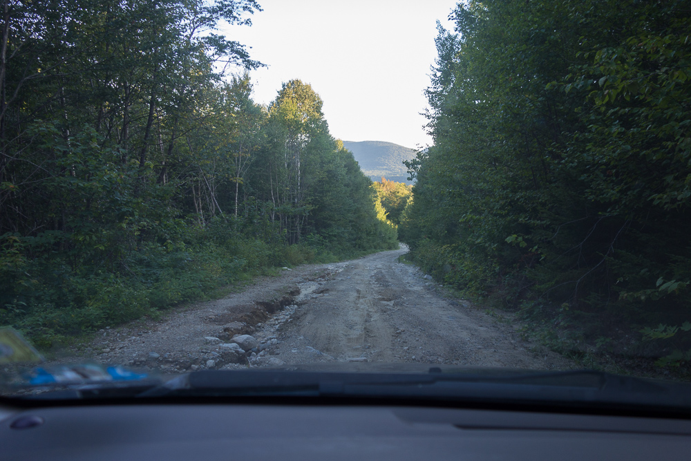
I can’t imagine who would possibly go up this road aside from a few hikers and hunters. I didn’t actually see any warnings about this road ahead of time, aside from the note that it’s a “rocky dirt road.” Well, this was the worst of the roads I used to get to a trailhead. And much like the boiling frog, it very gradually got worse until it seemed I was suddenly in a little too far for my Corolla. There were some uncovered and bent culverts, some random giant rocks, some wash-outs, some loose gravel, and all steep up so I had to keep my speed up a little bit to not lose momentum. It got worse the farther up I got, and I did hear a couple little scrapes from the bottom of my car. I was so happy to get to the “trailhead” after 3 miles and take a minute to relax before starting the hike.
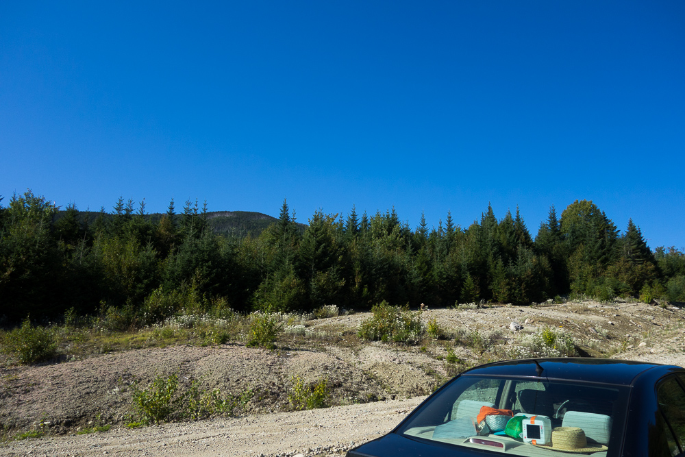
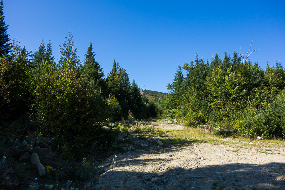
The parking area is on the right about 3 miles up the road from South Arm Road, just before the road bends to the left and dips down. I could see a cairn across the street but I actually had to keep going a little around the bend to see the old woods road that the path begins on. Once again, I had written directions and a GPS track just in case.
I followed the very overgrown old woods road up to an overgrown field and stayed to the left. In the back left corner of the field, I found a cairn and two herd paths leading off. Following my directions to not take the one well-marked with surveyor’s tape on the right (a hunter’s trail), I took the more overgrown herd path on the left.
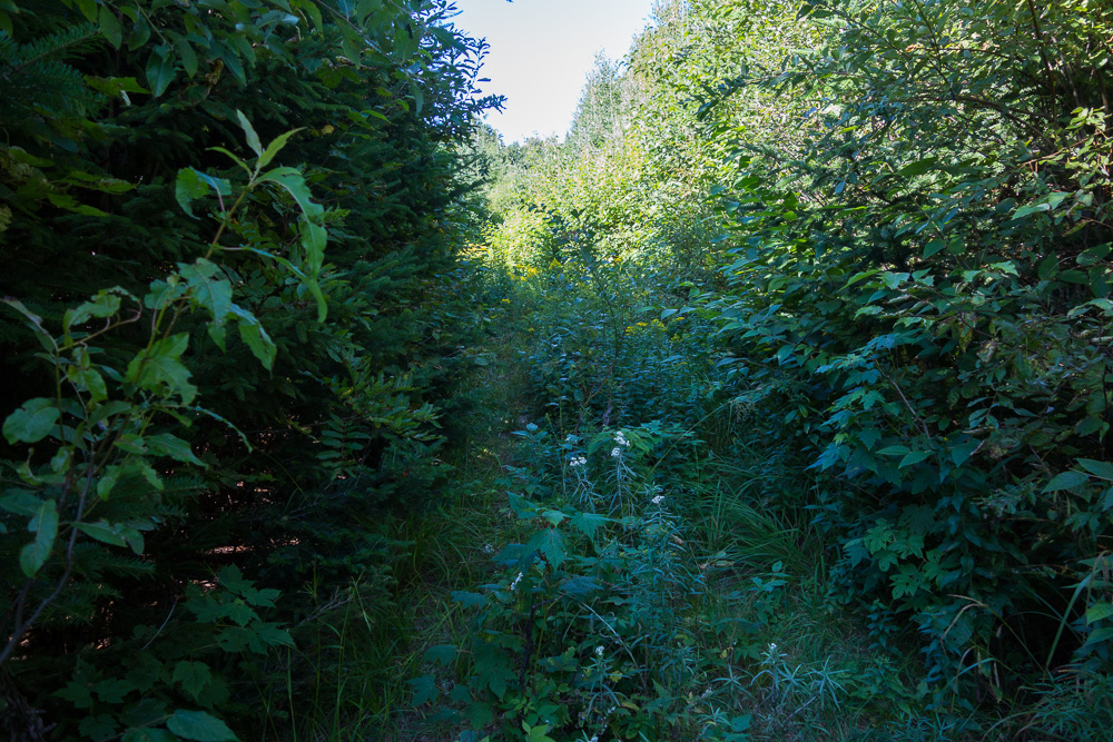

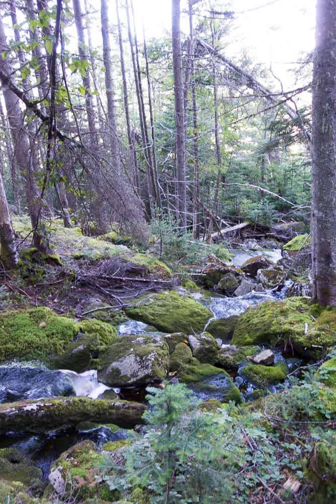
The path was fairly easy to follow at this point, although I was pushing through dense trees for much of it. It started to get a little steeper and climb next to a stream, spitting me out in a marshy area where I lost the trail. Someone had marked most of this path with surveyor’s tape, but either I missed it or it wasn’t there in this area.
With my feet getting increasingly wet looking for the path, I pulled out my phone to check my progress against the GPS track. Is that cheating? In any case, I was a little off track so I made my way back towards the track as I climbed uphill through the trees and eventually found a few pieces of tape again. They took me out to a sort-of clearing with tons of trees down. I picked my way through this level-ish area over to the forest to my left and found the path leading in.


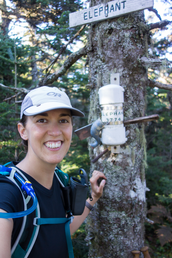
It was easy to follow path from there and I soon found myself on the summit of Elephant Mountain at 3772′. This one had both a summit sign and a register in a waterproof canister, and inexplicably, a spatula. I signed the register and then turned to go back down. I was still a little on edge from driving up that road and slightly worried about driving back down, so I wanted to get down as soon as possible.
I lost the way again getting from the clearing into the woods but pushed through some really dense trees to make my way back towards my GPS track. Once through the marshy area, it was easy to find my way back down.
The whole 3 miles took me just over 2 hours, not bad for a bushwhack.
I had originally intended to camp at this trailhead, thinking it would be much quieter than the next one I was heading to, but I wanted to get off that road before dark so I started driving down right away. It was much easier to control speed on the downhill since I didn’t have to worry about keeping momentum so there were no scrapes this time.
It was over an hour drive to the Appalachian Trail parking lot in Grafton Notch State Park and I arrived just as it was getting dark. It’s a big lot and there are plenty of other vehicles parked here although I think I’m the only person sleeping here. I drove to the back of the lot to keep the lights I’m using blocked from the road, which still has a decent amount of traffic on it. I cooked dinner on the ground next to my car while I cleaned myself up and once again rearranged the car to be comfortable-ish for sleeping before turning in to eat and read.
A long time ago, Redington was being looked at for a windmill farm. They put a road up and a tower to see how it was, then took it down.