Time for the final three mountains on my NH48 and NE67 peakbagging lists: Owl’s Head, Galehead, and North Twin. They can be strung together in a traverse, and it would have been slightly easier to walk southbound, but I didn’t want to end on Owl’s Head, so we went northbound instead. Chuckles and Spoon met me at the North Twin Trailhead on Haystack Road, where we left my car and drove in theirs down to the Lincoln Woods Trailhead. It was late Saturday morning so the parking lot was overflowing, but by stalking a couple of people in the parking lot, we were able to get a spot and not worry about leaving the car on the road overnight.
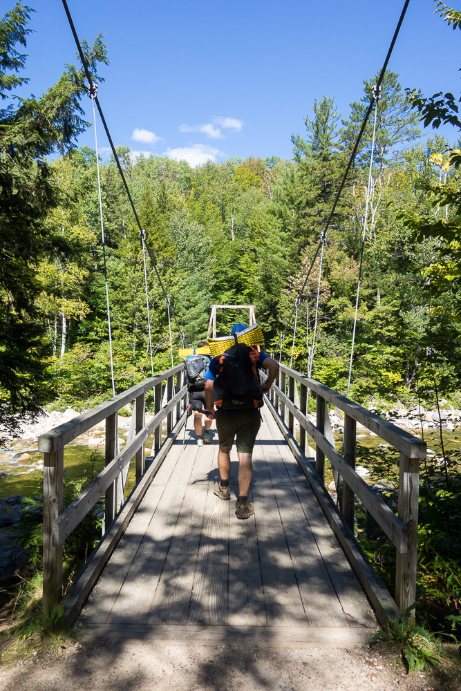
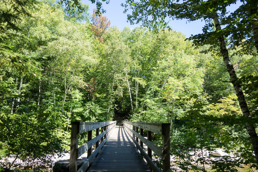
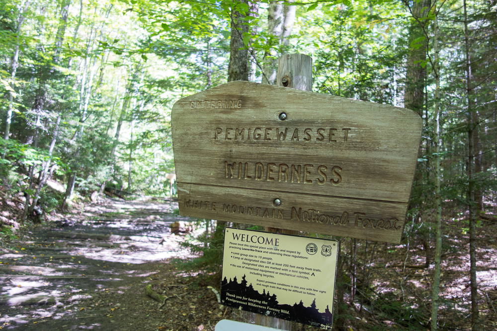
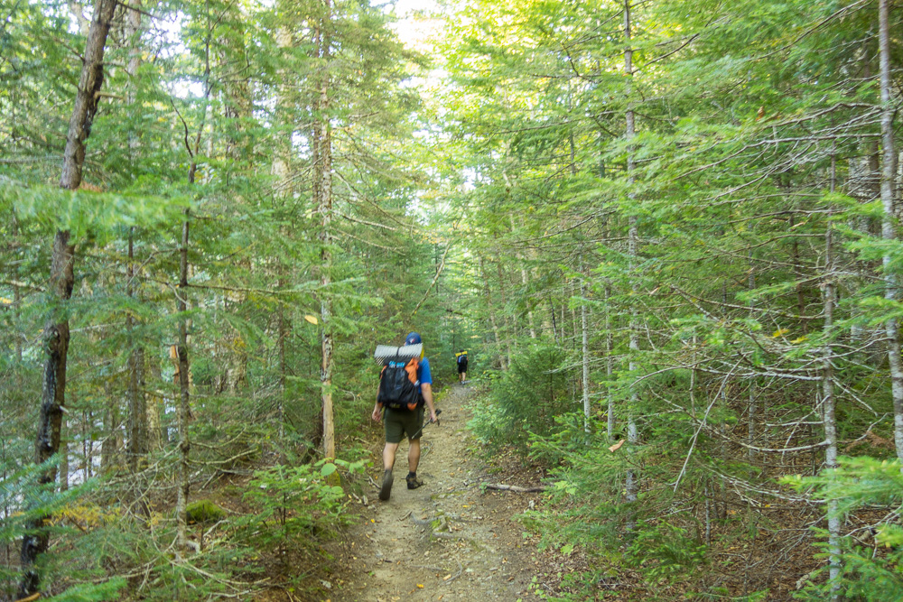
We walked across the suspension bridge on the East Branch Pemigewasset River and started up the Lincoln Woods Trail. This is the place I first cross country skiied – it’s very flat and quick to get the few miles up to a bridge over Franconia Brook and the entrance to the Pemigewasset Wilderness.
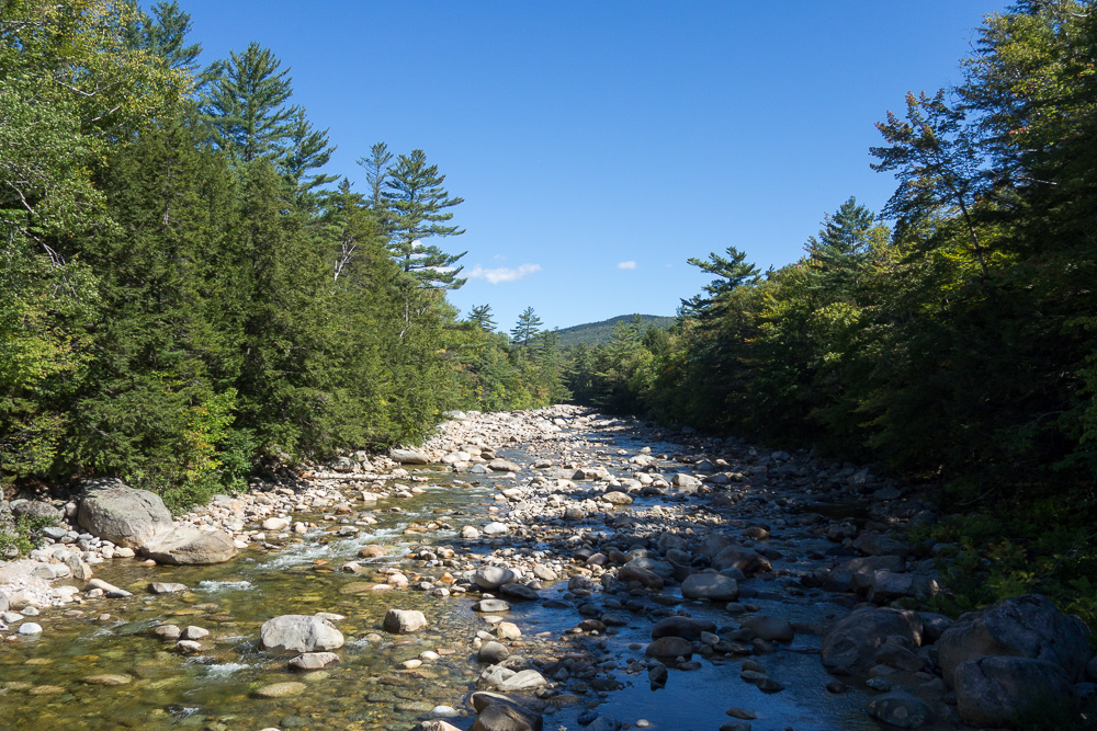
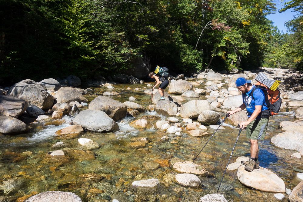
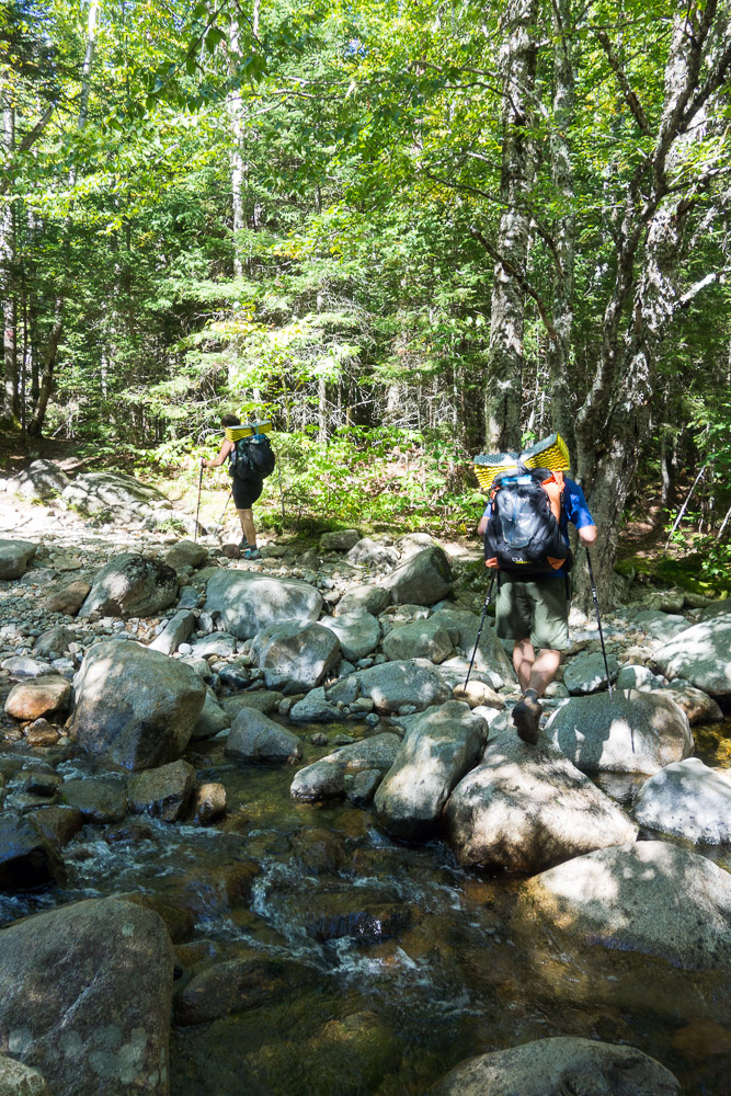
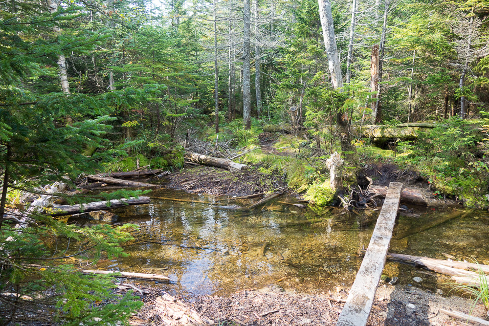
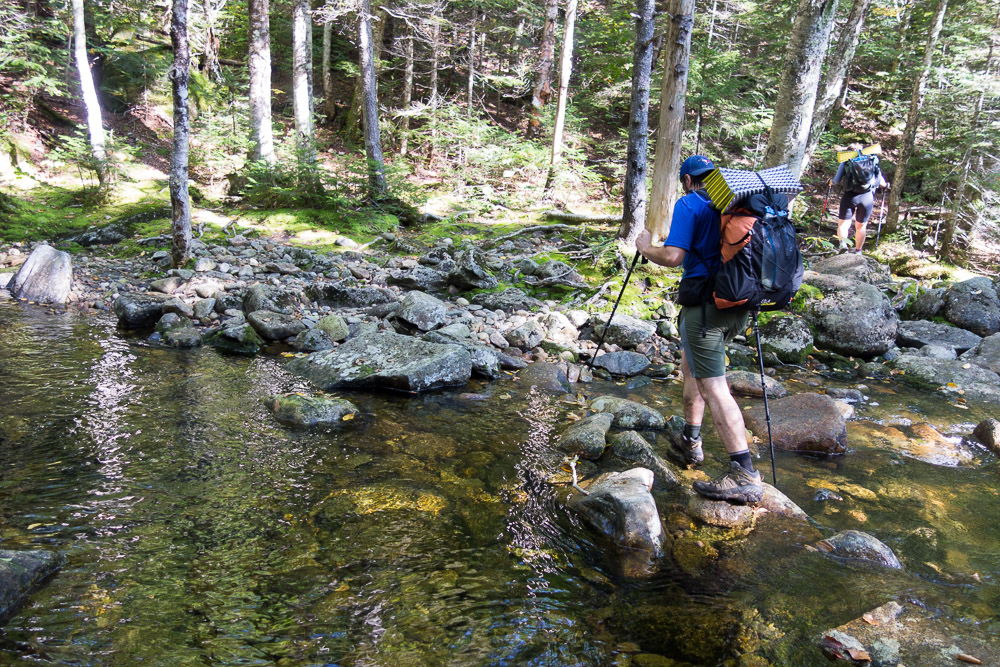
We turned north up the Franconia Brook Trail, another flat and easy walk. We stopped at the junction to the Lincoln Brook Trail for lunch before turning onto it – mostly flat again. The difficulty on this trail was supposed to be the bridge-less crossings of Franconia and Lincoln Brooks. Dangerous in high water, they were supposed to be fords regardless, but we were at such low water, we didn’t even get our feet wet. All the crossings were rock-hoppable.
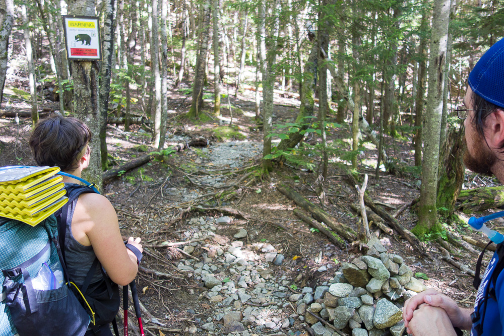
Finding the beginning of the unofficial Owl’s Head Path was easy – it might as well be an official trail with how beaten down it is, plus there’s usually a cairn to mark it, and this time there was also a bear warning sign posted. There have been a few problem bears in this area so USFS is asking people to use bear cans at night and not leave their food or packs unattended during the day. Of course, right behind the sign, there were plenty of unattended packs that hikers had left behind instead of hauling up Owl’s Head. We kept our packs on.
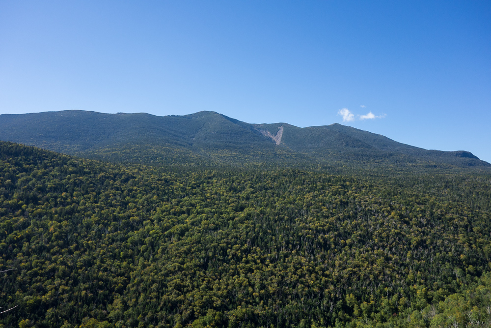
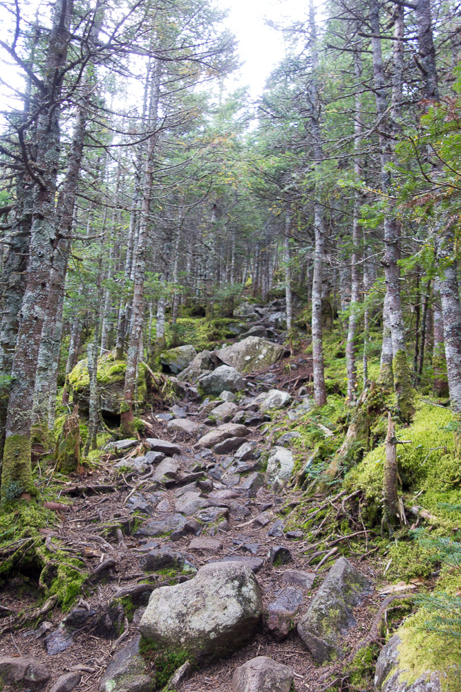
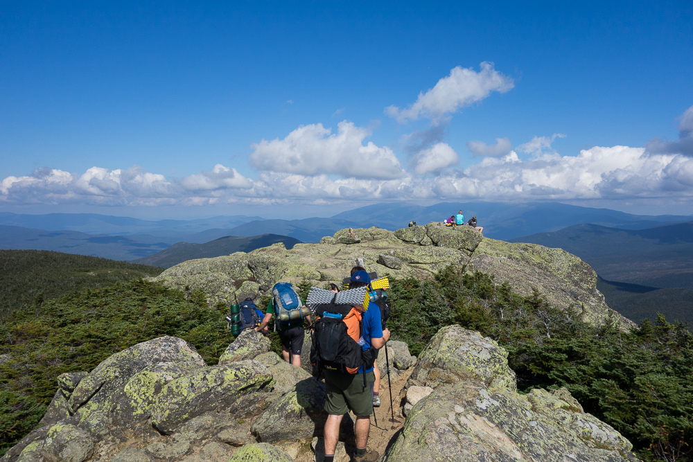
It’s a little over a mile to Owl’s Head’s summit and the herd path is mostly on a steep slide. The climb rises 1450′ in that mile, with 700′ in just the first .3 mile! Some of the slide was in the woods at first, but then it opened up to the sun, which was feeling very hot. We stopped not too far in for a snack break and to enjoy the view to the west of the Franconia Range.

But we had miles to go and had to keep moving up. The trail transitioned from the open slide to a super steep dirt path in the woods over exposed roots and rocks. We finally made it up to the old summit and kept going a little farther along the ridge to the true summit at 4025′. There was no view, as expected.

It took just as long to hike down the slide as it had to come up, and that had taken longer than expected, so it was getting late when we got back down to the Lincoln Brook Trail.

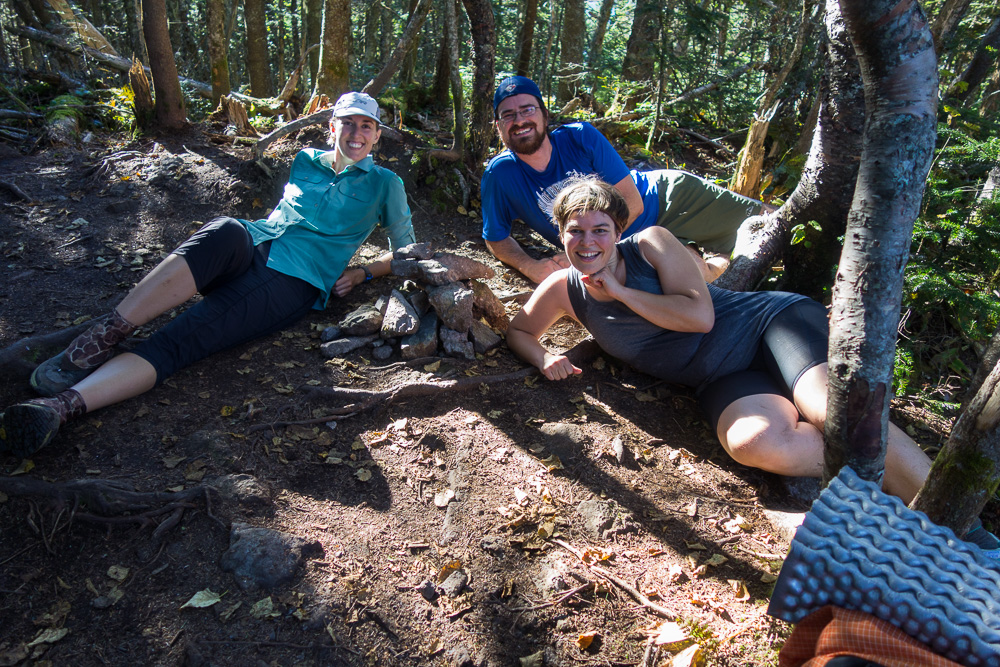
We’d intended to get a few more miles north to 13 Falls Tentsite but didn’t want to hike after dark on a piece of trail we’d heard was muddy and hard to follow. So we filled up water at the first crossing of Lincoln Brook and found a campsite in the woods just past the last crossing of Lincoln Brook. Our tents were set up and we were cooking dinner as it got dark. 11 miles for the first day.
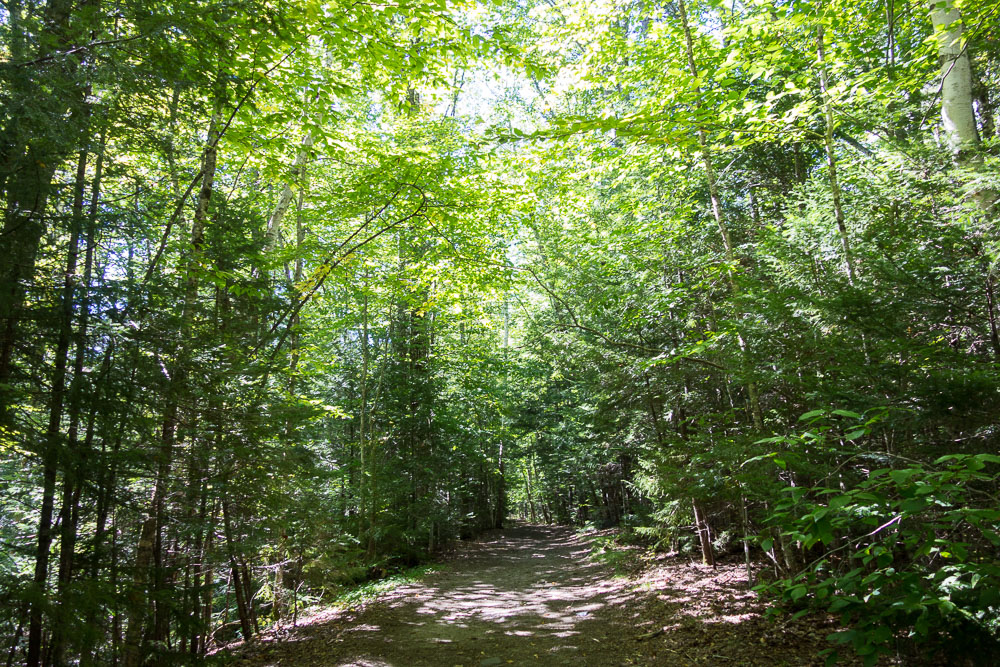
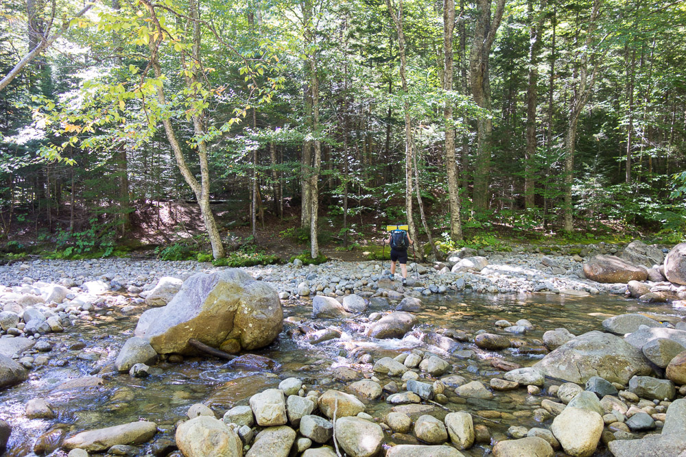
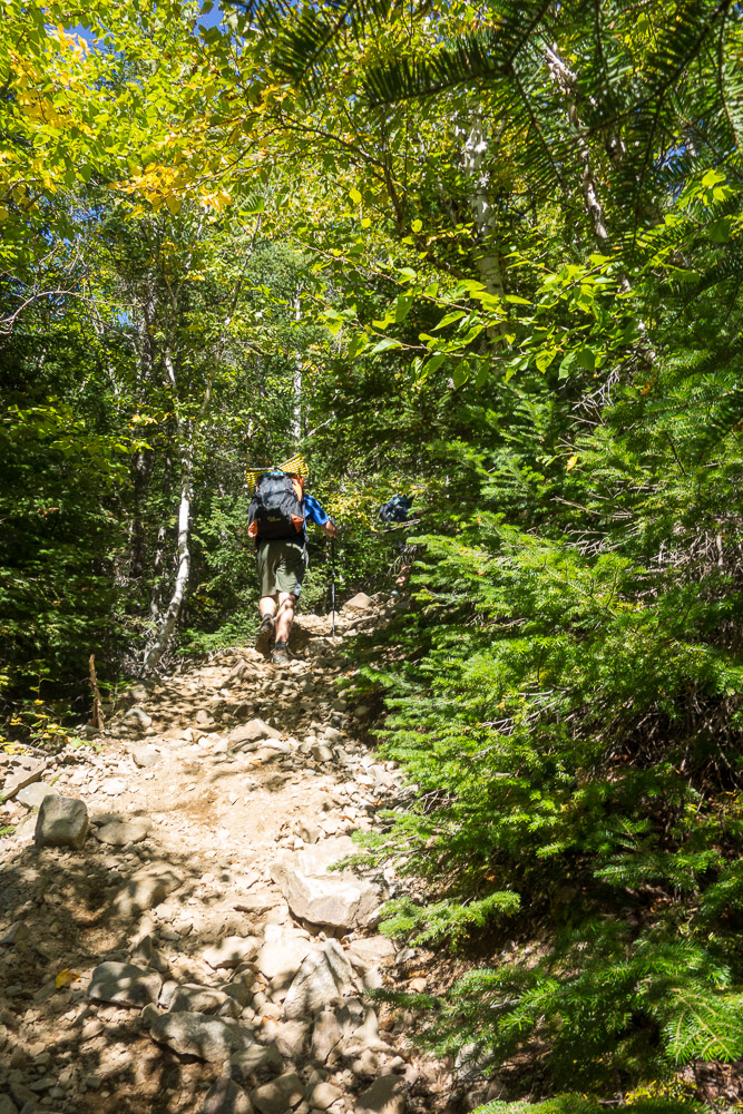
After a leisurely breakfast in the morning, we kept hiking north. The trail was muddy in places but really not that hard to follow. Our feet stayed dry again at the last Franconia Brook crossing before arriving at 13 Falls Tentsite. We made a quick run in for the privy and then started up the Twin Brook Trail.


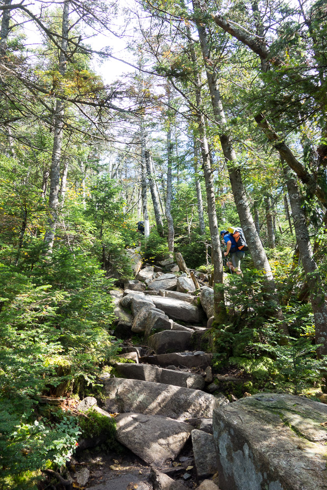
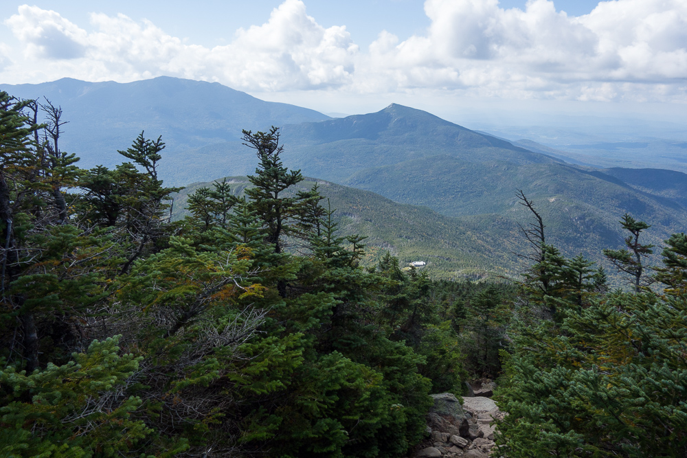
It was another hot day and I kept expecting the Twin Brook Trail to get harder, but it was really only steep right at the top. We decided to go drop our packs in Galehead Hut before taking the spur up to Galehead Mountain, but in the ensuing break, Chuckles and Spoon decided not to hike up to the summit since they’d already been there and there’s no view. On another couple of hikers hearing this, one of them decided to wait at the hut for the same reason while his friend hiked up. The friend and I headed out at the same time to be able to take each other’s pictures. There actually was a view before the summit, back to the hut and South Twin Mountain. Galehead Mountain’s summit at 4024′ had no view or summit sign, just a small cairn.
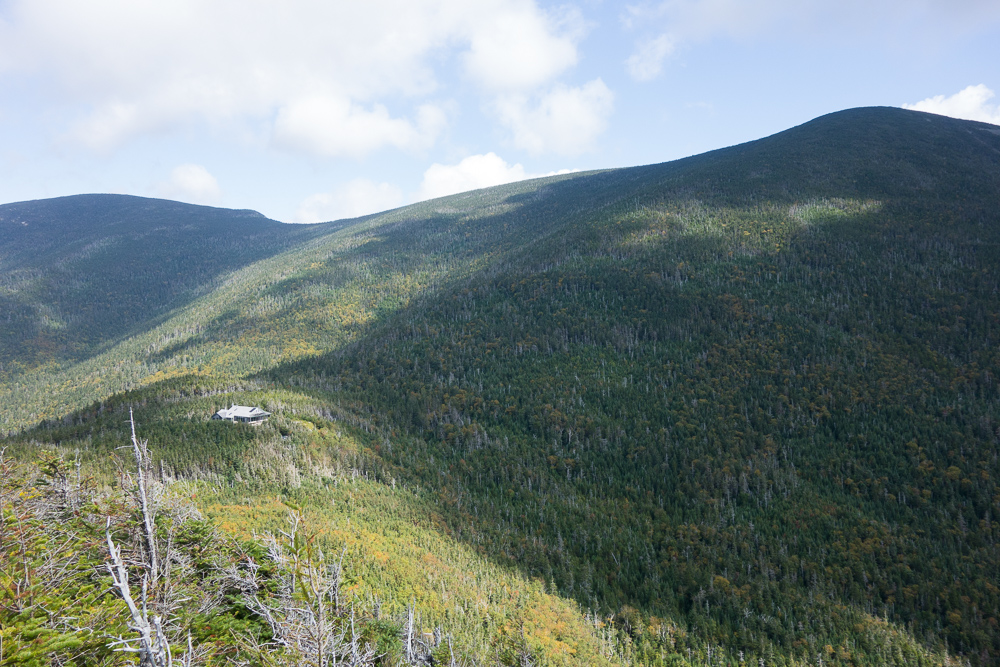

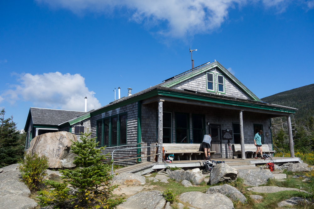
Back down at the hut, I had one more quick snack before we headed out, now on the Twinway up to South Twin Mountain. It was a steep climb up large boulders to the summit at 4902′, which I’ve already climbed as part of the AT. We laid around on the boulders for a bit before going north on the North Twin Spur.

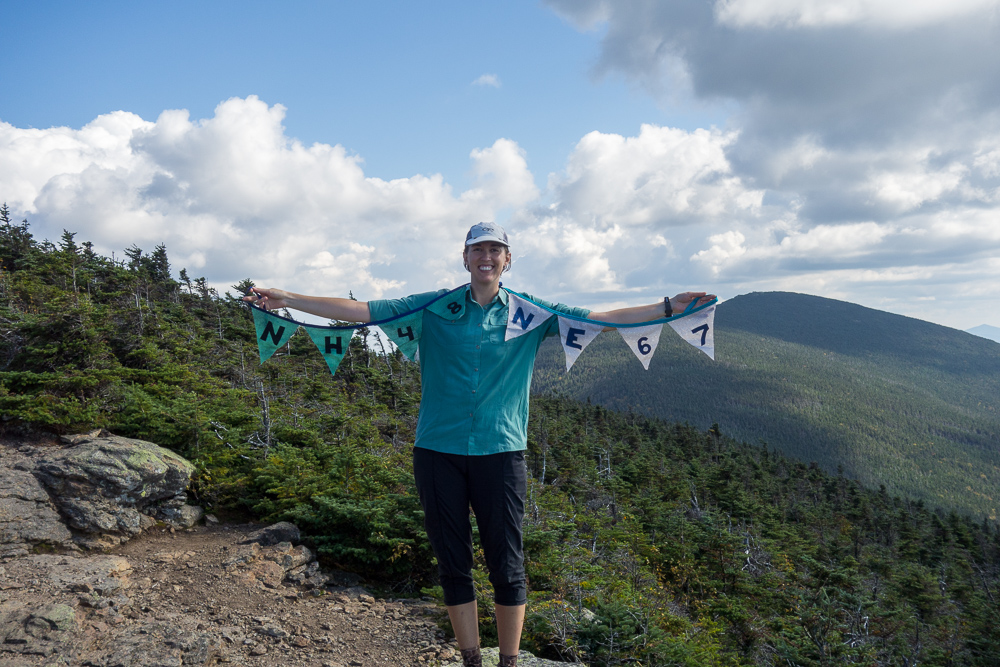
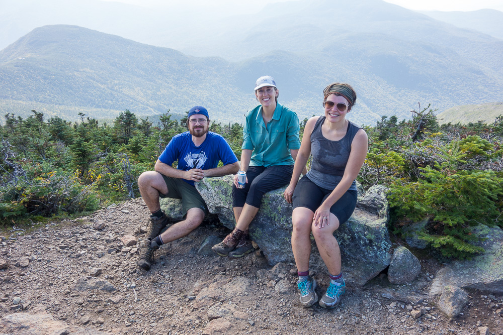
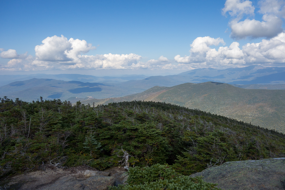
That took us down into a saddle and then back up to the summit of North Twin Mountain at 4761′. That summit also has no view, just a tiny cairn in the trees, but luckily there is a view a short distance to the west. There I celebrated the finish of my New Hampshire 48 4,000′ peaks and my New England 67 4,000′ peaks – the NH 48 plus 5 in Vermont and 14 in Maine. I’d already finished Vermont and Maine before New Hampshire, so I finished both lists together. Spoon pulled out a cider that he’d been carrying all that distance from the car, which was very much appreciated. Thanks, Spoon!
We didn’t stay long because there were some biting gnats also hanging out, and we still had several miles to the car. The North Twin Trail provided us with one last view before heading downhill into the trees.
The trail was very steep and rocky for quite a while, finally leveling out near the Little River. The three crossings of this river are supposed to be difficult as well, but we were able to rock hop the first, and we skipped the second two by taking a herd path on the east side of the river between the crossings. We were actually on the herd path before we even realized so I didn’t see if the water crossings were easy or not.

It was a nice final couple of miles to finish our 12.8 miles for the day. We got back to my car and drove back down to Lincoln Woods for Chuckles and Spoon’s car. We actually ran into a WFR classmate in the parking lot, which is funny because he lives near me in Vermont and I’ve never seen him here. After chatting for a bit, we finished cleaning up and changing to grab a burger in Lincoln before our long rides home.
So yay! I’m done! The next list I’ll be working on will probably be the New England 100 Highest. Turns out I’ve already hiked 84 of those (the 67 4’000 footers plus a few others down to 3769′). Also the 52 With a View, of which I’ve already hiked a handful, the NH 48 and NE 67 in winter, although I feel no urgency for that since I’ve only got 16 NH winter summits and 1 NE so far, and the Long Trail Side-to-Side list. I will probably also start New York’s Adirondacks high peaks next summer; they’re just as close to me as New Hampshire’s peaks. There are neverending peakbagging lists in New England. Good thing I like patches.
Awesome- congratulations! 🙂